Medium airport · Japan

Futenma Marine Corps Air StationROTM
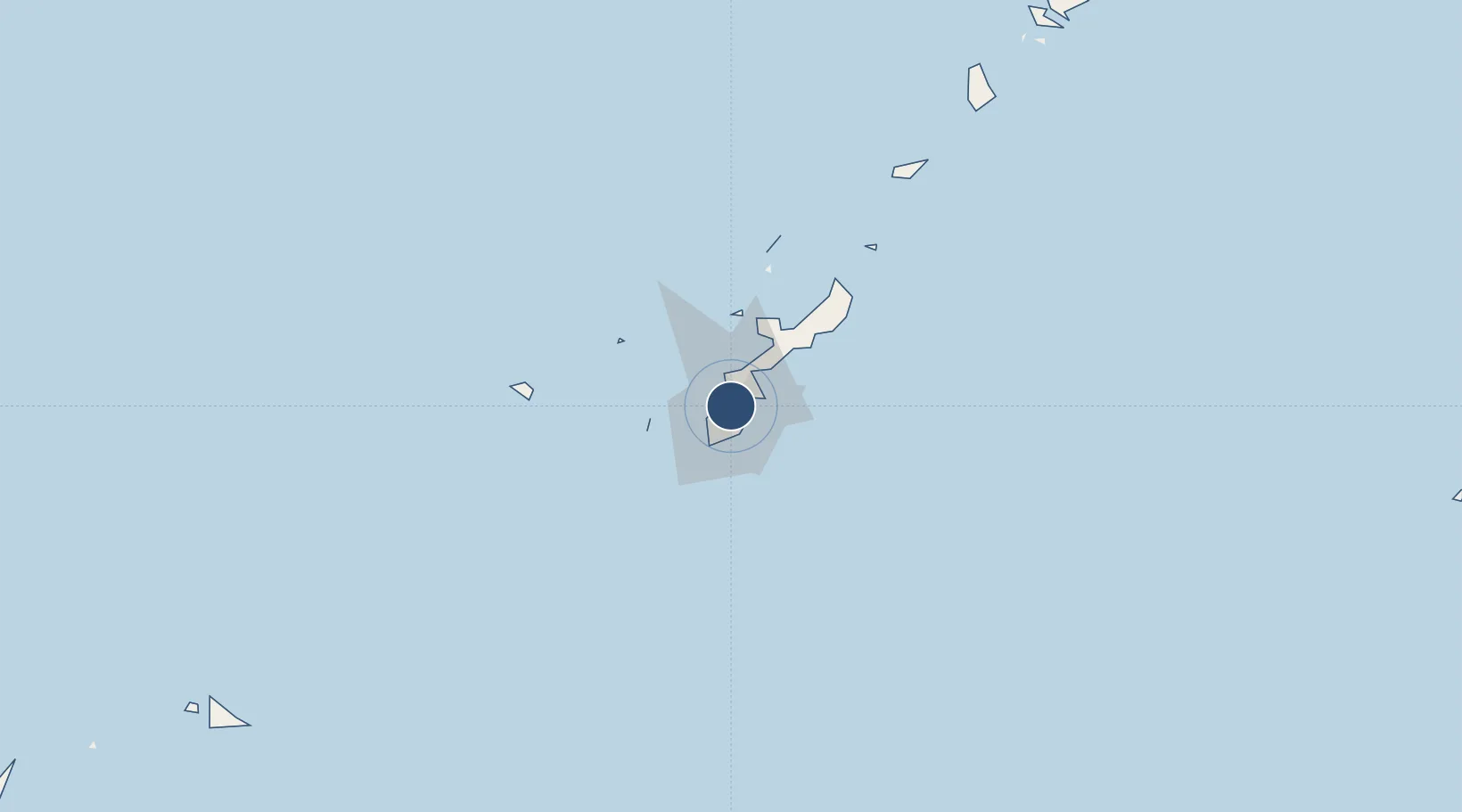
26.2743°, 127.7560°
9,000 ft
Longest runway
1
Runways
247 ft
Elevation

Runway & Layout

Futenma Marine Corps Air Station runway & taxiway layout
Runway & taxiway layout — OpenStreetMap (ODbL) / OurAirports

Radio Frequencies

ATIS
23.03 MHz
TWR
123.6 MHz
GND
122.8 MHz
PMSV
29.06 MHz
METRO
PTD
30.74 MHz
OurAirports

Navaids

NFO TACAN Futenma 110.50 MHz
TIC VORTAC Chinen 114.20 MHz
OurAirports

Runways · 1

RunwayDimensions SurfaceTrue headingLit
06/24 9,000 × 150ft Asphalt 055°
OurAirports

Airport Specifications

ICAO code
ROTM
OurAirports
Airport class
Medium airport
OurAirports
Scheduled service
No
OurAirports
Runway surface
Asphalt
OurAirports

Location

Location of ROTM
Natural Earth 10m (public domain) · Okinawa · ROTM · 26.27, 127.76GoogleOSMYandex

Nearby Logistics Neighbours

Airports
  1. 1Kadena Air Base9 km
  2. 2Naha International Airport15 km
  3. 3Iejima Airport50 km
  4. 4Aguni Airport62 km
  5. 5Kumejima Airport104 km
Nearest neighbours — logibook spatial index (haversine) over the source coordinates
Cities
  1. 1Chatan3 km
  2. 2Urasoe5 km
  3. 3Urazoe, Okinawa6 km
  4. 4Naha, Okinawa9 km
  5. 5Tomigusuku, Okinawa14 km
Nearest neighbours — logibook spatial index (haversine) over the source coordinates
Ports
  1. 1Nishihara8 km
  2. 2Naha Ko10 km
  3. 3Nakagusuku16 km
  4. 4Kin Wan21 km
  5. 5Hirara Ko297 km
Nearest neighbours — logibook spatial index (haversine) over the source coordinates
Trade Zones
  1. 1Okinawa Prefecture Special Zone for Life Science Industry12 km
  2. 2Port Of Keelung Free Trade Zone615 km
  3. 3Port Of Suao Free Trade Zone620 km
  4. 4Port Of Taipei Free Trade Zone651 km
  5. 5Taoyuan International Airport Free Trade Zone667 km
Nearest neighbours — logibook spatial index (haversine) over the source coordinates
DatabookThe Record of Consolidated Knowledge
Japan beyond logistics?
Browse databook

All Sources

AirportsOurAirports
Public domain
Portsthe NGA World Port Index
Public domain (US gov)
LocationsUN/LOCODE
UN/LOCODE — free
Trade Zonesthe World Bank SEZ database
CC BY 4.0
Trade ZonesOpen Zone Map
CC BY
InfrastructureOpenStreetMap
ODbL 1.0
← Japan airports