Large airport · Japan

Naha International AirportROAH
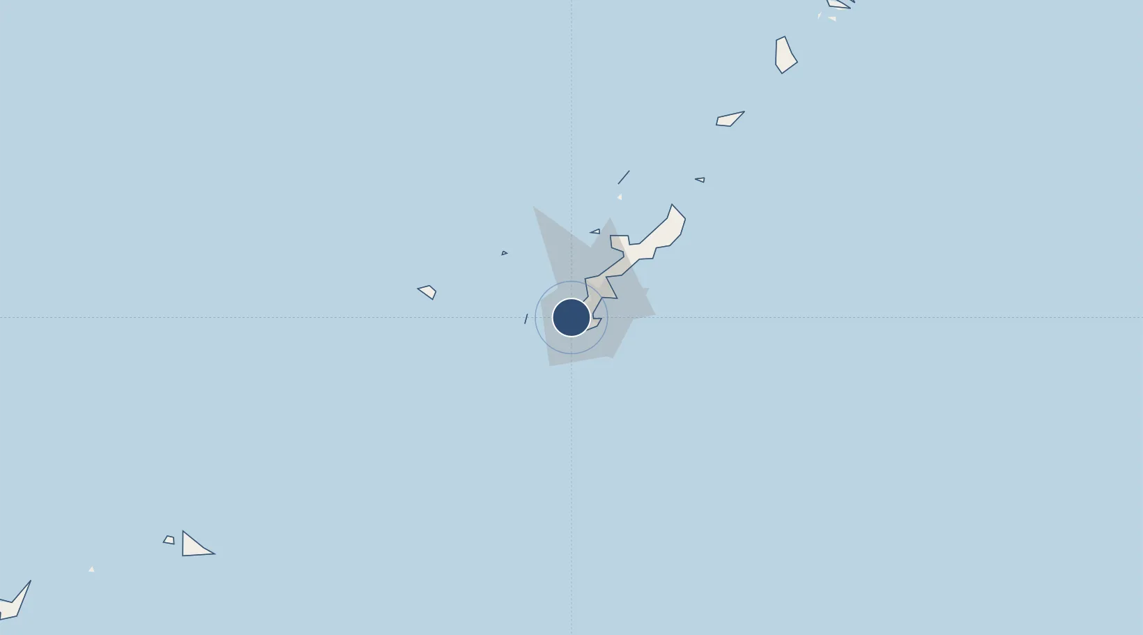
26.1924°, 127.6398°
9,840 ft
Longest runway
2
Runways
12 ft
Elevation

Runway & Layout

Naha International Airport runway & taxiway layout
Runway & taxiway layout — OpenStreetMap (ODbL) / OurAirports

Radio Frequencies

ATIS
127.8 MHz
TWR
118.1 MHz
GND
121.8 MHz
CLD
122.075 MHz
CLNC DEL
A/G
126.9 MHz
CENTRAL WEST PACIFIC
OurAirports

Navaids

NHC VORTAC Naha 116.50 MHz
OK NDB Okinawa 308 kHz
OurAirports

Runways · 2

RunwayDimensions SurfaceTrue headingLit
18L/36R 9,840 × 150ft Asphalt 177°
18R/36L 8,858 × 197ft ASPH 177°
OurAirports

Airport Specifications

IATA code
OKA
OurAirports
ICAO code
ROAH
OurAirports
Airport class
Large airport
OurAirports
Scheduled service
Yes
OurAirports
Runway surface
Asphalt
OurAirports
Served city
Naha
OurAirports

Location

Location of ROAH
Natural Earth 10m (public domain) · Okinawa · ROAH · 26.19, 127.64GoogleOSMYandex

Nearby Logistics Neighbours

Airports
  1. 1Futenma Marine Corps Air Station15 km
  2. 2Kadena Air Base22 km
  3. 3Aguni Airport60 km
  4. 4Iejima Airport61 km
  5. 5Kumejima Airport94 km
Nearest neighbours — logibook spatial index (haversine) over the source coordinates
Cities
  1. 1Tomigusuku, Okinawa3 km
  2. 2Naha, Okinawa6 km
  3. 3Urazoe, Okinawa9 km
  4. 4Urasoe10 km
  5. 5Chatan17 km
Nearest neighbours — logibook spatial index (haversine) over the source coordinates
Ports
  1. 1Naha Ko5 km
  2. 2Nishihara16 km
  3. 3Nakagusuku29 km
  4. 4Kin Wan36 km
  5. 5Hirara Ko283 km
Nearest neighbours — logibook spatial index (haversine) over the source coordinates
Trade Zones
  1. 1Okinawa Prefecture Special Zone for Life Science Industry27 km
  2. 2Port Of Keelung Free Trade Zone602 km
  3. 3Port Of Suao Free Trade Zone606 km
  4. 4Port Of Taipei Free Trade Zone638 km
  5. 5Taoyuan International Airport Free Trade Zone654 km
Nearest neighbours — logibook spatial index (haversine) over the source coordinates
DatabookThe Record of Consolidated Knowledge
Japan beyond logistics?
Browse databook

All Sources

AirportsOurAirports
Public domain
Portsthe NGA World Port Index
Public domain (US gov)
LocationsUN/LOCODE
UN/LOCODE — free
Trade Zonesthe World Bank SEZ database
CC BY 4.0
Trade ZonesOpen Zone Map
CC BY
InfrastructureOpenStreetMap
ODbL 1.0
← Japan airports