UN/LOCODE hub · Japan
JPZAK

Urasoe

26.2500°, 127.7167°
115,690
Population
1
Transport functions

Transport Functions

Multimodal
UN/LOCODE

Hub Profile

Place type
Provincial seat
GeoNames
Region
Okinawa
GeoNames
Population
115,690
GeoNames
Time zone
Asia/Tokyo
GeoNames
Elevation
50 m
GeoNames

Location

Location of JPZAK
Natural Earth 10m (public domain) · Okinawa · JPZAK · 26.25, 127.72GoogleOSMYandex

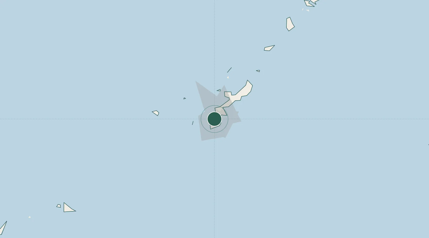
Nearby Logistics Neighbours

Cities
  1. 1Urazoe, Okinawa2 km
  2. 2Naha, Okinawa4 km
  3. 3Chatan8 km
  4. 4Tomigusuku, Okinawa9 km
  5. 5Uruma19 km
Nearest neighbours — logibook spatial index (haversine) over the source coordinates
Ports
  1. 1Naha Ko5 km
  2. 2Nishihara9 km
  3. 3Nakagusuku20 km
  4. 4Kin Wan26 km
  5. 5Hirara Ko293 km
Nearest neighbours — logibook spatial index (haversine) over the source coordinates
Airports
  1. 1Futenma Marine Corps Air Station5 km
  2. 2Naha International Airport10 km
  3. 3Kadena Air Base13 km
  4. 4Iejima Airport53 km
  5. 5Aguni Airport61 km
Nearest neighbours — logibook spatial index (haversine) over the source coordinates
Trade Zones
  1. 1Okinawa Prefecture Special Zone for Life Science Industry17 km
  2. 2Port Of Keelung Free Trade Zone610 km
  3. 3Port Of Suao Free Trade Zone616 km
  4. 4Port Of Taipei Free Trade Zone647 km
  5. 5Taoyuan International Airport Free Trade Zone663 km
Nearest neighbours — logibook spatial index (haversine) over the source coordinates
DatabookThe Record of Consolidated Knowledge
Japan beyond logistics?
Browse databook

All Sources

LocationsUN/LOCODE
UN/LOCODE — free
LocationsGeoNames
CC BY 4.0
Portsthe NGA World Port Index
Public domain (US gov)
AirportsOurAirports
Public domain
Trade Zonesthe World Bank SEZ database
CC BY 4.0
Trade ZonesOpen Zone Map
CC BY
← Japan locations