Transport Functions
Port
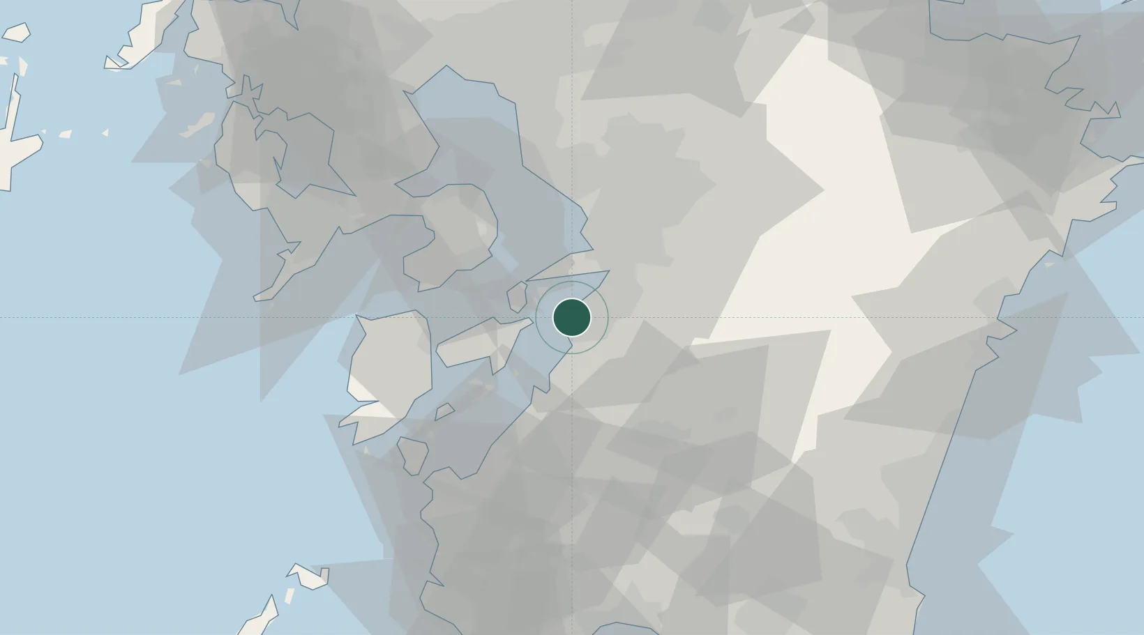
Hub Profile
Place type
Provincial seat
Region
Kumamoto
Time zone
Asia/Tokyo
Elevation
0 m
Logistics facilities
4
Container terminals
1
Location
Nearby Logistics Neighbours
Cities
- 1Kumamoto26 km
- 2Nishiki, Kumamoto44 km
- 3Koshi45 km
- 4Ozu, Kumamoto47 km
- 5Nagomi Kumamoto49 km
Ports
- 1Misumi Ko13 km
- 2Minamata Ko40 km
- 3Miike Ko55 km
- 4Nagasaki71 km
- 5Matsu-Shima101 km
Airports
- 1Amakusa Airport39 km
- 2Kumamoto Airport44 km
- 3Kyushu Saga International Airport74 km
- 4Nagasaki Airport75 km
- 5Kagoshima Airport82 km
DatabookThe Record of Consolidated Knowledge
Japan beyond logistics?