UN/LOCODE hub · Japan
JPKMJ
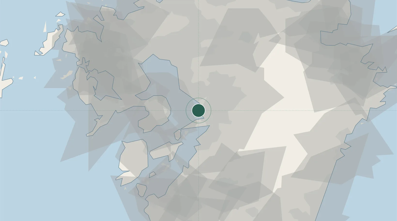
Kumamoto
32.7625°, 130.5839°
738,907
Population
2
Transport functions
1
Container terminals
Transport Functions
Port
Airport
Hub Profile
Place type
Regional capital
Region
Kumamoto
Population
738,907
Time zone
Asia/Tokyo
Elevation
9 m
Logistics facilities
2
Container terminals
1
Location
Nearby Logistics Neighbours
Cities
- 1Nagomi Kumamoto23 km
- 2Koshi23 km
- 3Yatsushiro26 km
- 4Ozu, Kumamoto29 km
- 5Miike, Fukuoka32 km
Ports
- 1Misumi Ko21 km
- 2Yatsushiro Ko30 km
- 3Miike Ko31 km
- 4Minamata Ko65 km
- 5Nagasaki69 km
Airports
- 1Kumamoto Airport27 km
- 2Kyushu Saga International Airport51 km
- 3Amakusa Airport51 km
- 4Nagasaki Airport65 km
- 5Fukuoka Airport92 km
DatabookThe Record of Consolidated Knowledge
Japan beyond logistics?