UN/LOCODE hub · Japan
JPMII
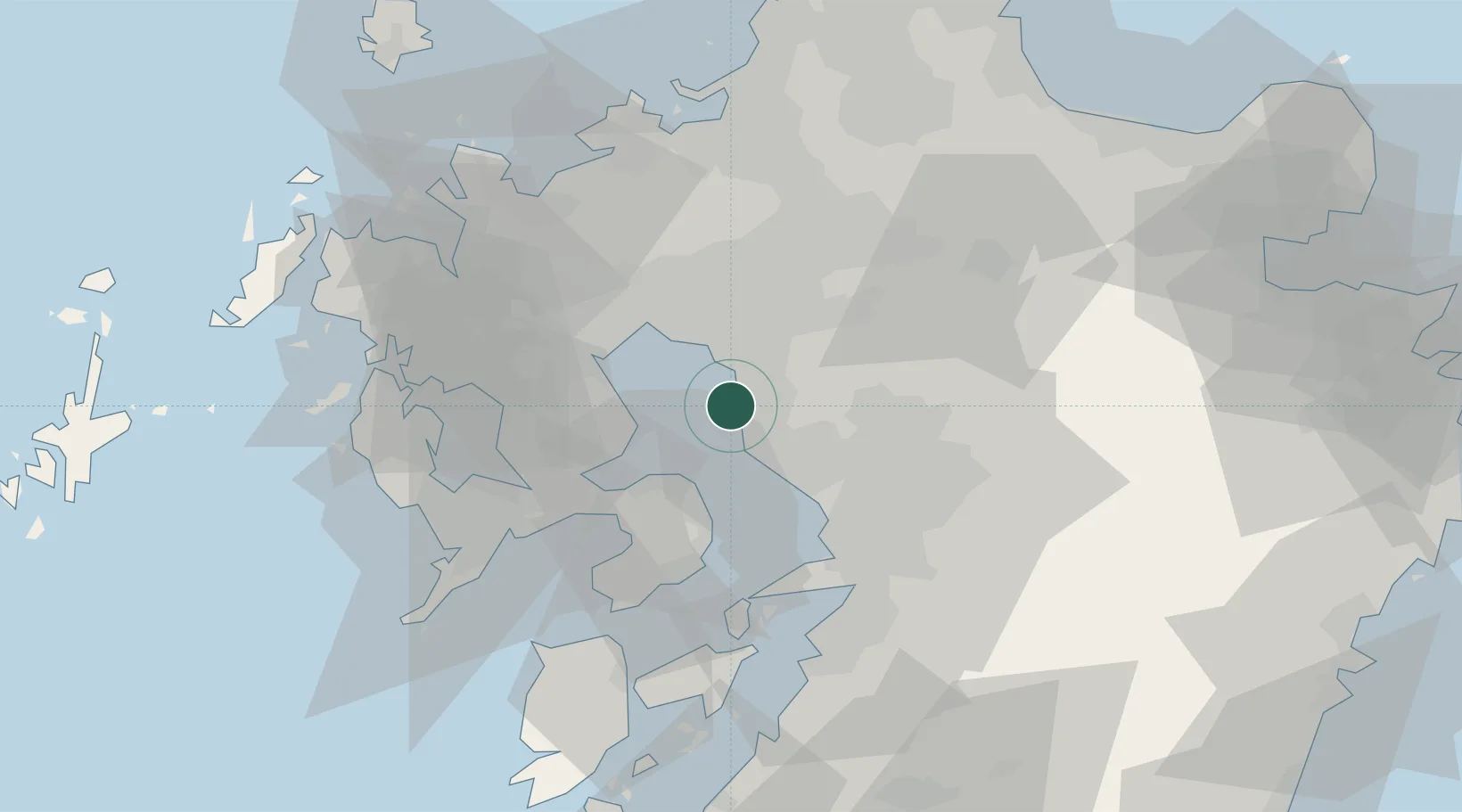
Miike, Fukuoka
33.0161°, 130.4128°
1
Transport functions
1
Container terminals
Transport Functions
Port
Hub Profile
Region
40
Logistics facilities
1
Container terminals
1
Location
Nearby Logistics Neighbours
Cities
- 1Miyama, Fukuoka16 km
- 2Nagomi Kumamoto18 km
- 3Okawa21 km
- 4Chikugo, Fukuoka22 km
- 5Yame, Fukuoka23 km
Ports
- 1Misumi Ko47 km
- 2Imari58 km
- 3Yatsushiro Ko59 km
- 4Nagasaki62 km
- 5Hakata65 km
Airports
- 1Kyushu Saga International Airport18 km
- 2Kumamoto Airport46 km
- 3Nagasaki Airport48 km
- 4Fukuoka Airport64 km
- 5Amakusa Airport64 km
DatabookThe Record of Consolidated Knowledge
Japan beyond logistics?