Transport Functions
Port
Multimodal
Hub Profile
Place type
Provincial seat
Region
Saga
Population
43,952
Time zone
Asia/Tokyo
Elevation
7 m
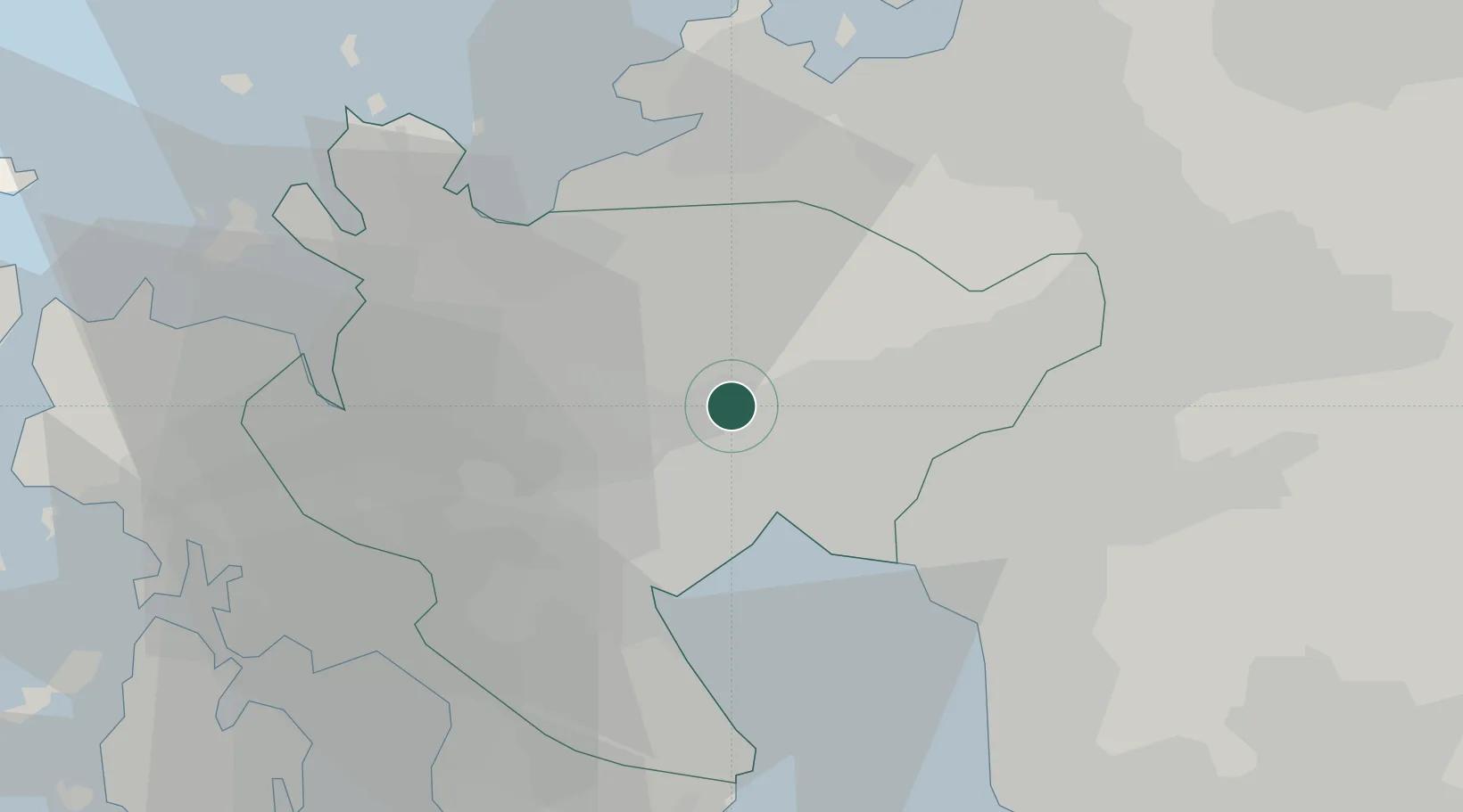
Location
Nearby Logistics Neighbours
Cities
- 1Okawa19 km
- 2Ureshino Saga23 km
- 3Miyaki24 km
- 4Miyama, Fukuoka29 km
- 5Chikugo, Fukuoka29 km
Airports
- 1Kyushu Saga International Airport18 km
- 2Fukuoka Airport41 km
- 3Nagasaki Airport49 km
- 4Iki Airport65 km
- 5Kumamoto Airport79 km
DatabookThe Record of Consolidated Knowledge
Japan beyond logistics?