Transport Functions
Port
Road
Hub Profile
Place type
Populated place
Region
Saga
Time zone
Asia/Tokyo
Elevation
1 m
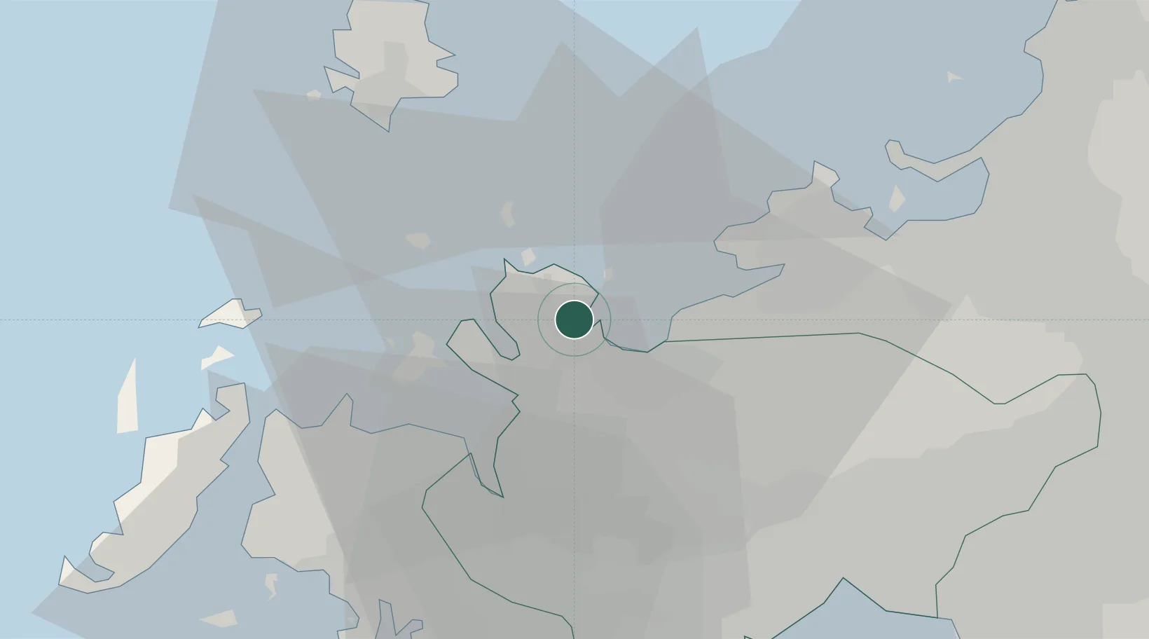
Location
Nearby Logistics Neighbours
Cities
- 1Fukushima, Nagasaki19 km
- 2Imari20 km
- 3Itoshima, Fukuoka24 km
- 4Ogi33 km
- 5Ureshino Saga42 km
Ports
- 1Karatsu3 km
- 2Imari23 km
- 3Sasebo41 km
- 4Hakata45 km
- 5Matsu-Shima69 km
Airports
- 1Iki Airport33 km
- 2Fukuoka Airport49 km
- 3Kyushu Saga International Airport51 km
- 4Nagasaki Airport63 km
- 5JASDF Ashiya Air Base80 km
DatabookThe Record of Consolidated Knowledge
Japan beyond logistics?