UN/LOCODE hub · Slovenia
SIKOP

Koper

45.5547°, 13.7430°
25,753
Population
1
Transport functions

Transport Functions

Port
Koper is also a profiled seaport →
UN/LOCODE

Hub Profile

Place type
Regional capital
GeoNames
Region
Koper-Capodistria
GeoNames
Population
25,753
GeoNames
Time zone
Europe/Ljubljana
GeoNames
Elevation
12 m
GeoNames
Logistics facilities
5
UN/LOCODE

Location

Location of SIKOP
Natural Earth 10m (public domain) · Koper-Capodistria · SIKOP · 45.55, 13.74GoogleOSMYandex

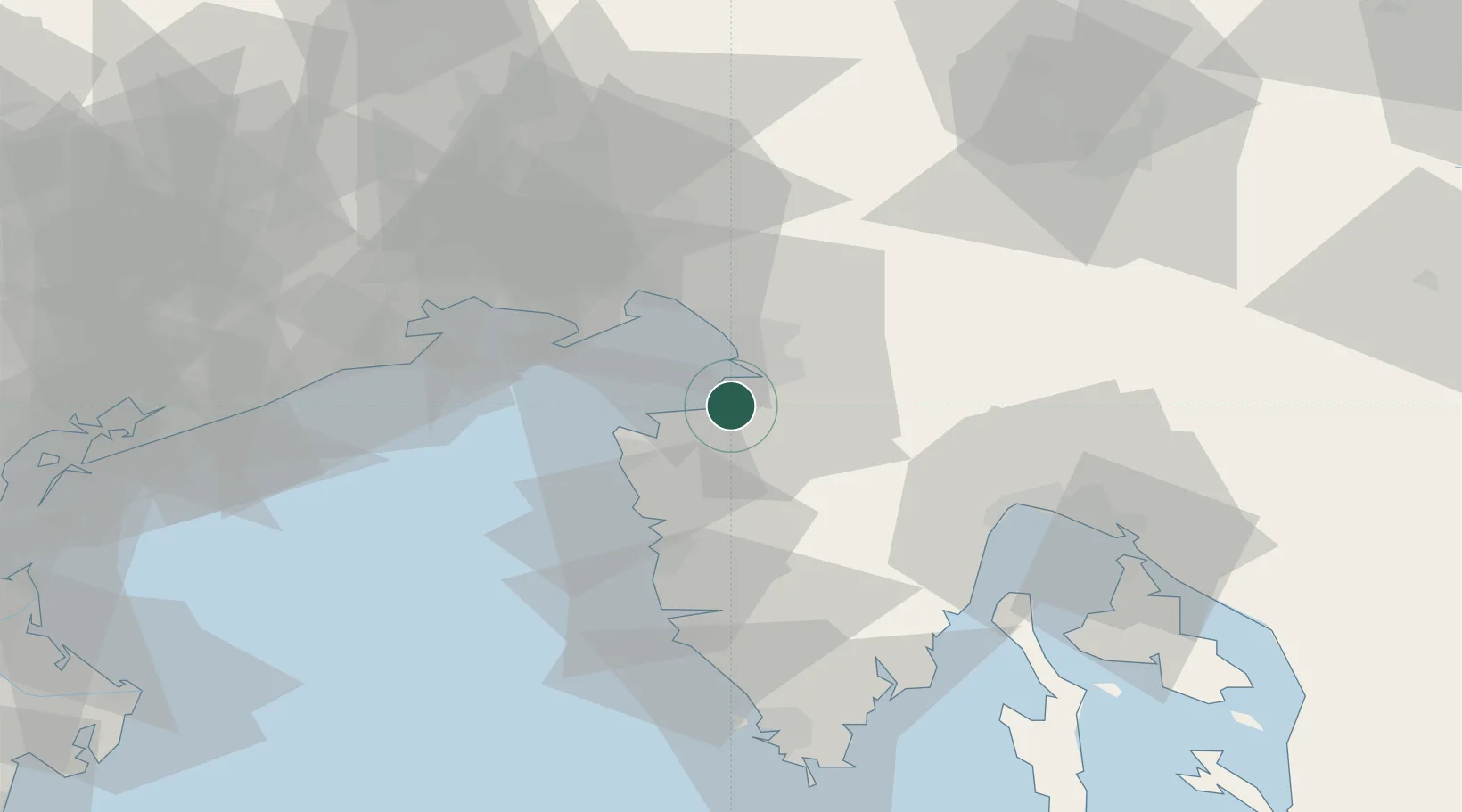
Nearby Logistics Neighbours

Cities
  1. 1Muggia5 km
  2. 2Zaule7 km
  3. 3Trieste8 km
  4. 4San Dorligo della Valle10 km
  5. 5Secovlje14 km
Nearest neighbours — logibook spatial index (haversine) over the source coordinates
Ports
  1. 1Muggia5 km
  2. 2Trieste11 km
  3. 3Piran14 km
  4. 4Umag22 km
  5. 5Monfalcone30 km
Nearest neighbours — logibook spatial index (haversine) over the source coordinates
Airports
  1. 1Portorož Airport14 km
  2. 2Trieste Airport37 km
  3. 3Udine-Rivolto Air Base72 km
  4. 4Rijeka Airport75 km
  5. 5Pula Airport75 km
Nearest neighbours — logibook spatial index (haversine) over the source coordinates
Trade Zones
  1. 1Free Port of Trieste10 km
  2. 2Port of Rijeka Free Zone57 km
  3. 3Free Zone Kukuljanovo65 km
  4. 4Port of Pula Free Zone77 km
  5. 5Free Port of Venice113 km
Nearest neighbours — logibook spatial index (haversine) over the source coordinates
DatabookThe Record of Consolidated Knowledge
Slovenia beyond logistics?
Browse databook

All Sources

LocationsUN/LOCODE
UN/LOCODE — free
LocationsGeoNames
CC BY 4.0
Portsthe NGA World Port Index
Public domain (US gov)
AirportsOurAirports
Public domain
Trade Zonesthe World Bank SEZ database
CC BY 4.0
Trade ZonesOpen Zone Map
CC BY
← Slovenia locations