Seaport · Slovenia

PiranSIPIR

45.5333°, 13.5667°
1.8 m
Channel depth

Channel & Berth Profile

SEA LEVEL (CD)CHANNEL BEDChannel · 1.8 mAnchorage · 14.0 m
NGA World Port Index

Pilotage, Tugs & Services

Potable waterYES
NGA World Port Index

Facilities & Capabilities

Container
Ro-Ro
Liquid bulk
Dry bulk
Oil terminal
Break bulk
Dry dock
Repairs
BunkeringYES
Rail link
Dangerous cargo
ISPS security
NGA World Port Index

Harbour Specifications

Harbour size
Very Small
NGA World Port Index
Harbour type
Coastal (Breakwater)
NGA World Port Index
Shelter
Good
NGA World Port Index
Water body
Adriatic Sea; Mediterranean Sea; North Atlantic Ocean
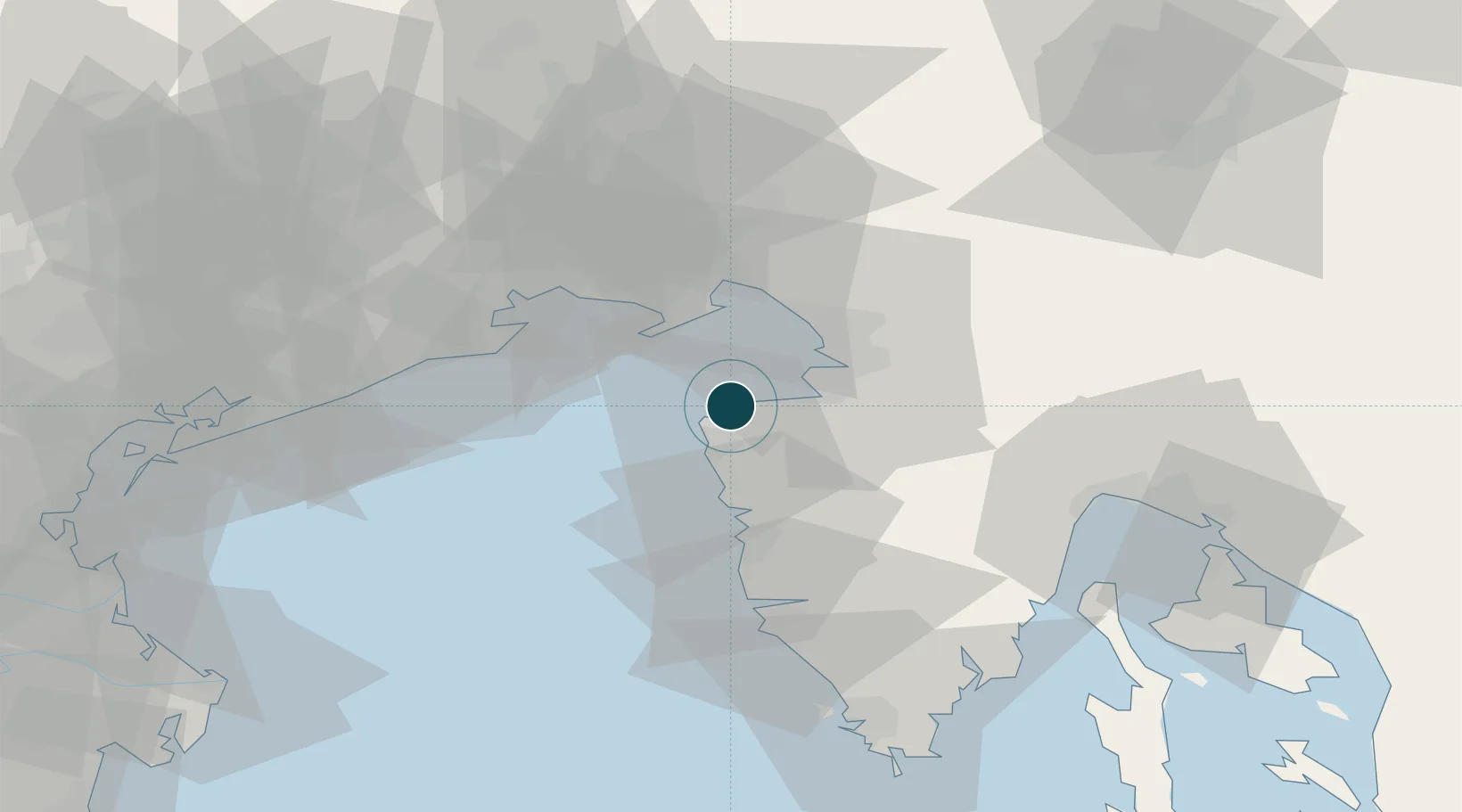
NGA World Port Index

Location

Location of SIPIR
Natural Earth 10m (public domain) · SIPIR · 45.53, 13.57GoogleOSMYandex

Nearby Logistics Neighbours

Ports
  1. 1Umag12 km
  2. 2Koper13 km
  3. 3Muggia17 km
  4. 4Trieste19 km
  5. 5Grado28 km
Nearest neighbours — logibook spatial index (haversine) over the source coordinates
Cities
  1. 1Secovlje8 km
  2. 2Umag14 km
  3. 3Koper14 km
  4. 4Momjan15 km
  5. 5Muggia17 km
Nearest neighbours — logibook spatial index (haversine) over the source coordinates
Airports
  1. 1Portorož Airport8 km
  2. 2Trieste Airport34 km
  3. 3Udine-Rivolto Air Base64 km
  4. 4Pula Airport76 km
  5. 5Rijeka Airport86 km
Nearest neighbours — logibook spatial index (haversine) over the source coordinates
Trade Zones
  1. 1Free Port of Trieste19 km
  2. 2Port of Rijeka Free Zone66 km
  3. 3Free Zone Kukuljanovo77 km
  4. 4Port of Pula Free Zone77 km
  5. 5Free Port of Venice99 km
Nearest neighbours — logibook spatial index (haversine) over the source coordinates
DatabookThe Record of Consolidated Knowledge
Slovenia beyond logistics?
Browse databook

All Sources

Portsthe NGA World Port Index
Public domain (US gov)
AirportsOurAirports
Public domain
LocationsUN/LOCODE
UN/LOCODE — free
Trade Zonesthe World Bank SEZ database
CC BY 4.0
Trade ZonesOpen Zone Map
CC BY
← Slovenia ports