UN/LOCODE hub · Italy
ITTRS
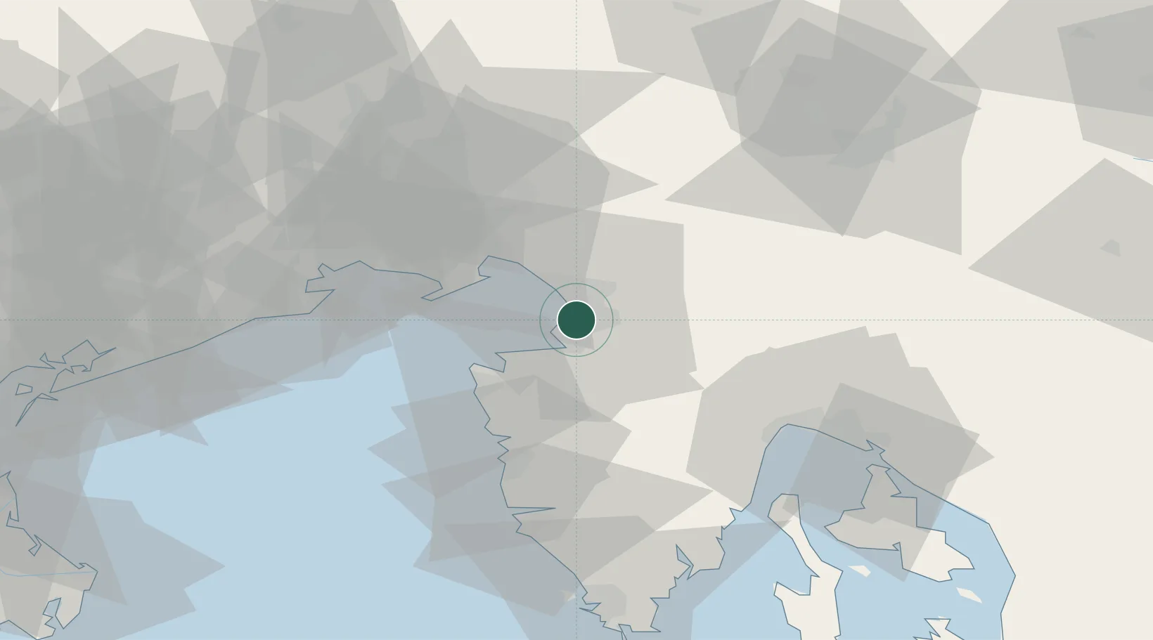
Trieste
45.6250°, 13.7799°
204,338
Population
3
Transport functions
2
Container terminals
Transport Functions
Port
Rail
Airport
Hub Profile
Place type
Regional capital
Region
Friuli Venezia Giulia
Population
204,338
Time zone
Europe/Rome
Elevation
2 m
Logistics facilities
10
Container terminals
2
Location
Nearby Logistics Neighbours
Cities
- 1Muggia3 km
- 2Zaule3 km
- 3San Dorligo della Valle6 km
- 4Koper8 km
- 5Aurisina15 km
Ports
- 1Muggia3 km
- 2Koper9 km
- 3Piran20 km
- 4Monfalcone25 km
- 5Umag30 km
Airports
- 1Portorož Airport21 km
- 2Trieste Airport33 km
- 3Udine-Rivolto Air Base69 km
- 4Rijeka Airport77 km
- 5Pula Airport82 km
Trade Zones
- 1Free Port of Trieste3 km
- 2Port of Rijeka Free Zone61 km
- 3Free Zone Kukuljanovo66 km
- 4Port of Pula Free Zone85 km
- 5Free Port of Venice117 km
DatabookThe Record of Consolidated Knowledge
Italy beyond logistics?