Transport Functions
Port
Road
Hub Profile
Place type
District seat
Region
Friuli Venezia Giulia
Population
10,929
Time zone
Europe/Rome
Elevation
3 m
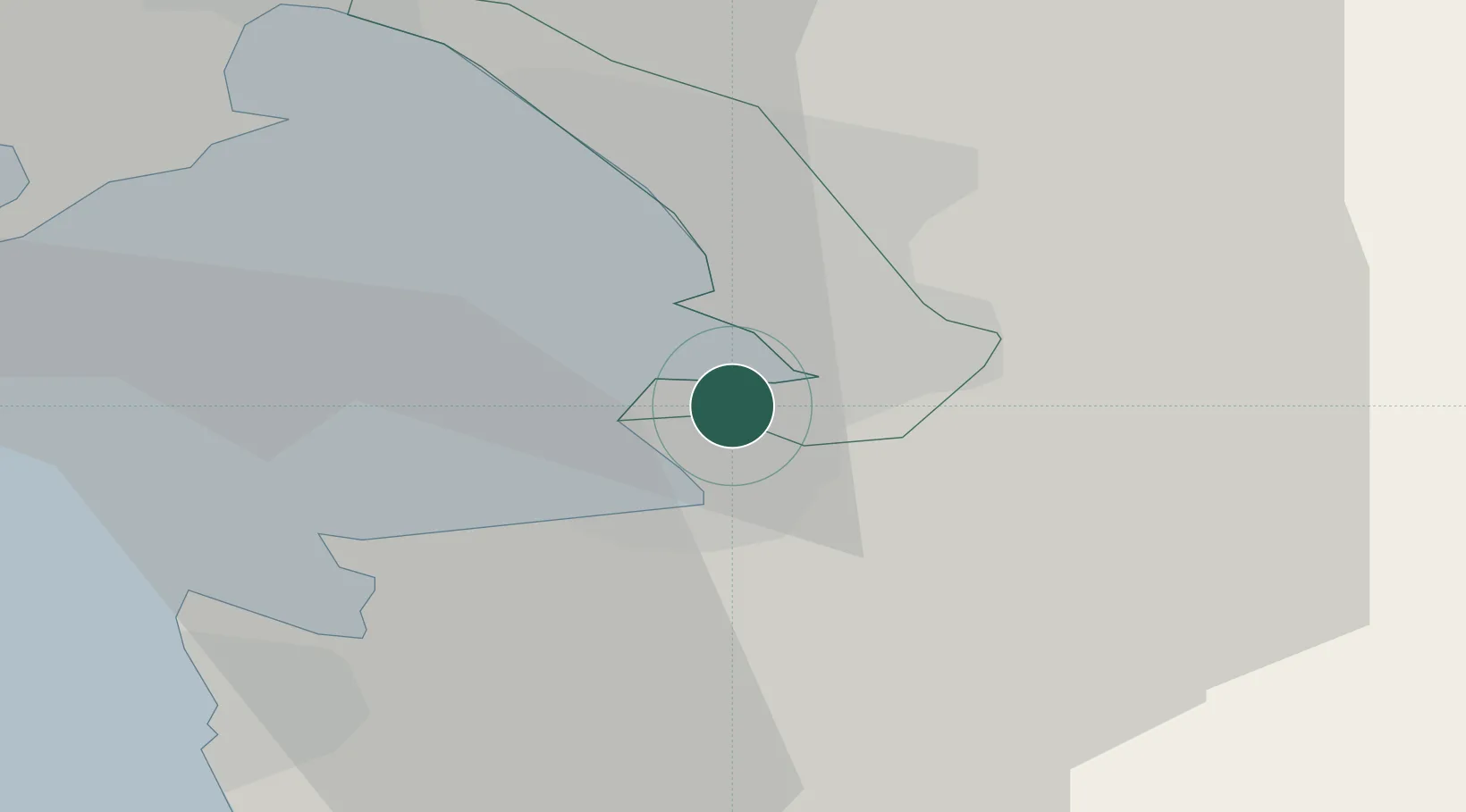
Location
Nearby Logistics Neighbours
Cities
- 1Zaule3 km
- 2Trieste3 km
- 3Koper5 km
- 4San Dorligo della Valle7 km
- 5Aurisina17 km
Ports
- 1Trieste6 km
- 2Koper6 km
- 3Piran17 km
- 4Monfalcone26 km
- 5Umag27 km
Airports
- 1Portorož Airport18 km
- 2Trieste Airport34 km
- 3Udine-Rivolto Air Base70 km
- 4Rijeka Airport76 km
- 5Pula Airport80 km
Trade Zones
- 1Free Port of Trieste5 km
- 2Port of Rijeka Free Zone59 km
- 3Free Zone Kukuljanovo65 km
- 4Port of Pula Free Zone82 km
- 5Free Port of Venice115 km
DatabookThe Record of Consolidated Knowledge
Italy beyond logistics?