Transport Functions
Road
Multimodal
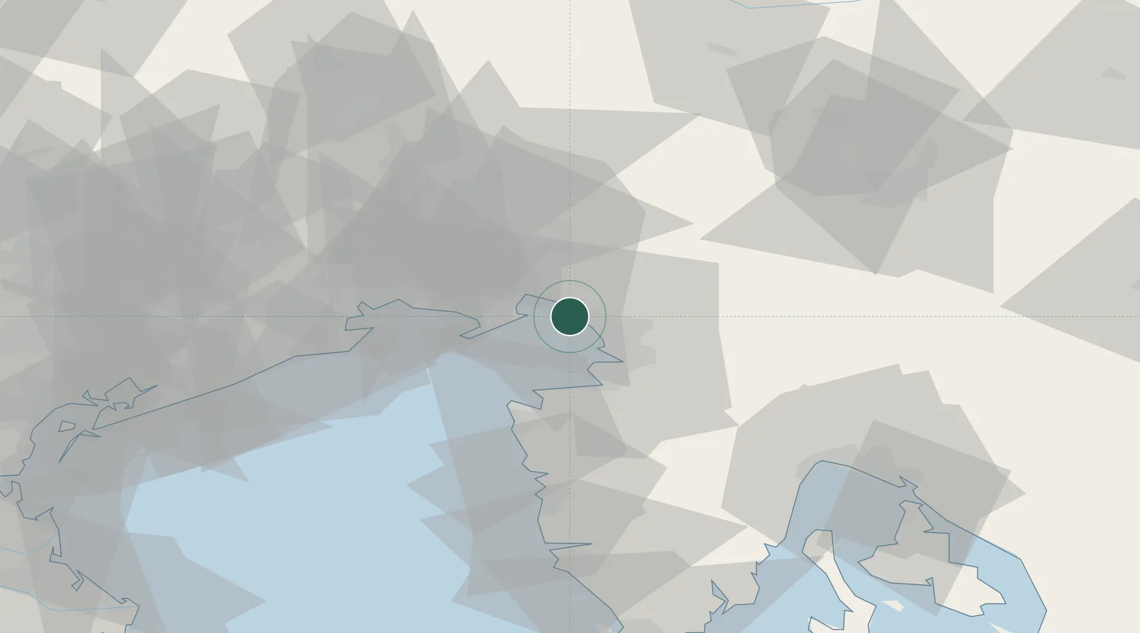
Hub Profile
Place type
District seat
Region
Friuli Venezia Giulia
Population
2,202
Time zone
Europe/Rome
Elevation
144 m
Location
Nearby Logistics Neighbours
Cities
- 1Sistiana3 km
- 2Duino8 km
- 3Ronchi dei Legionari15 km
- 4Trieste15 km
- 5Muggia17 km
Ports
- 1Monfalcone11 km
- 2Trieste11 km
- 3Muggia17 km
- 4Koper21 km
- 5Piran24 km
Airports
- 1Trieste Airport18 km
- 2Portorož Airport29 km
- 3Udine-Rivolto Air Base55 km
- 4Ljubljana Jože Pučnik Airport82 km
- 5Aviano Air Base89 km
Trade Zones
- 1Free Port of Trieste12 km
- 2Port of Rijeka Free Zone76 km
- 3Free Zone Kukuljanovo79 km
- 4Port of Pula Free Zone98 km
- 5Free Port of Venice111 km
DatabookThe Record of Consolidated Knowledge
Italy beyond logistics?