UN/LOCODE hub · Italy
ITULE

Zaule

45.6000°, 13.8000°
1
Transport functions

Transport Functions

Port
UN/LOCODE

Hub Profile

Region
TS
GeoNames

Location

Location of ITULE
Natural Earth 10m (public domain) · TS · ITULE · 45.60, 13.80GoogleOSMYandex

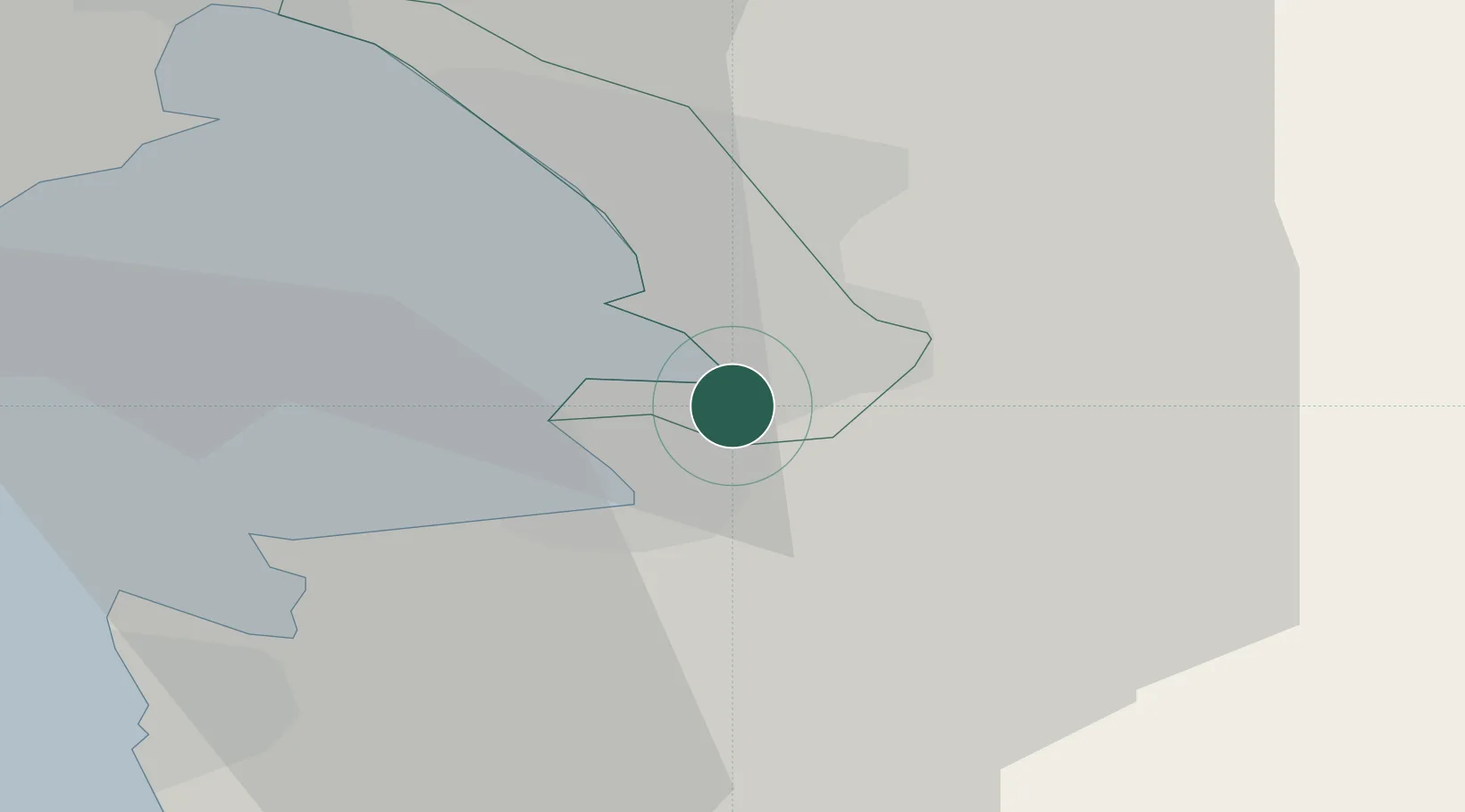
Nearby Logistics Neighbours

Cities
  1. 1Muggia3 km
  2. 2Trieste3 km
  3. 3San Dorligo della Valle4 km
  4. 4Koper7 km
  5. 5Vremski Britof18 km
Nearest neighbours — logibook spatial index (haversine) over the source coordinates
Ports
  1. 1Muggia3 km
  2. 2Trieste7 km
  3. 3Koper8 km
  4. 4Piran20 km
  5. 5Monfalcone28 km
Nearest neighbours — logibook spatial index (haversine) over the source coordinates
Airports
  1. 1Portorož Airport20 km
  2. 2Trieste Airport36 km
  3. 3Udine-Rivolto Air Base72 km
  4. 4Rijeka Airport74 km
  5. 5Pula Airport79 km
Nearest neighbours — logibook spatial index (haversine) over the source coordinates
Trade Zones
  1. 1Free Port of Trieste6 km
  2. 2Port of Rijeka Free Zone58 km
  3. 3Free Zone Kukuljanovo63 km
  4. 4Port of Pula Free Zone82 km
  5. 5Free Port of Venice118 km
Nearest neighbours — logibook spatial index (haversine) over the source coordinates
DatabookThe Record of Consolidated Knowledge
Italy beyond logistics?
Browse databook

All Sources

LocationsUN/LOCODE
UN/LOCODE — free
Portsthe NGA World Port Index
Public domain (US gov)
AirportsOurAirports
Public domain
Trade Zonesthe World Bank SEZ database
CC BY 4.0
Trade ZonesOpen Zone Map
CC BY
← Italy locations