Channel & Berth Profile
Pilotage, Tugs & Services
Pilotage compulsoryYES
Pilotage availableYES
Diesel bunkersYES
Garbage disposalYES
Facilities & Capabilities
Container—
Ro-Ro—
Liquid bulk—
Dry bulk—
Oil terminal—
Break bulk—
Dry dock—
RepairsNO
BunkeringYES
Rail linkYES
Dangerous cargo—
ISPS security—
Harbour Specifications
Harbour size
Very Small
Harbour type
Coastal (Breakwater)
Shelter
Fair
Water body
Adriatic Sea; Mediterranean Sea; North Atlantic Ocean
Tidal range
1 m
Pilotage
Yes
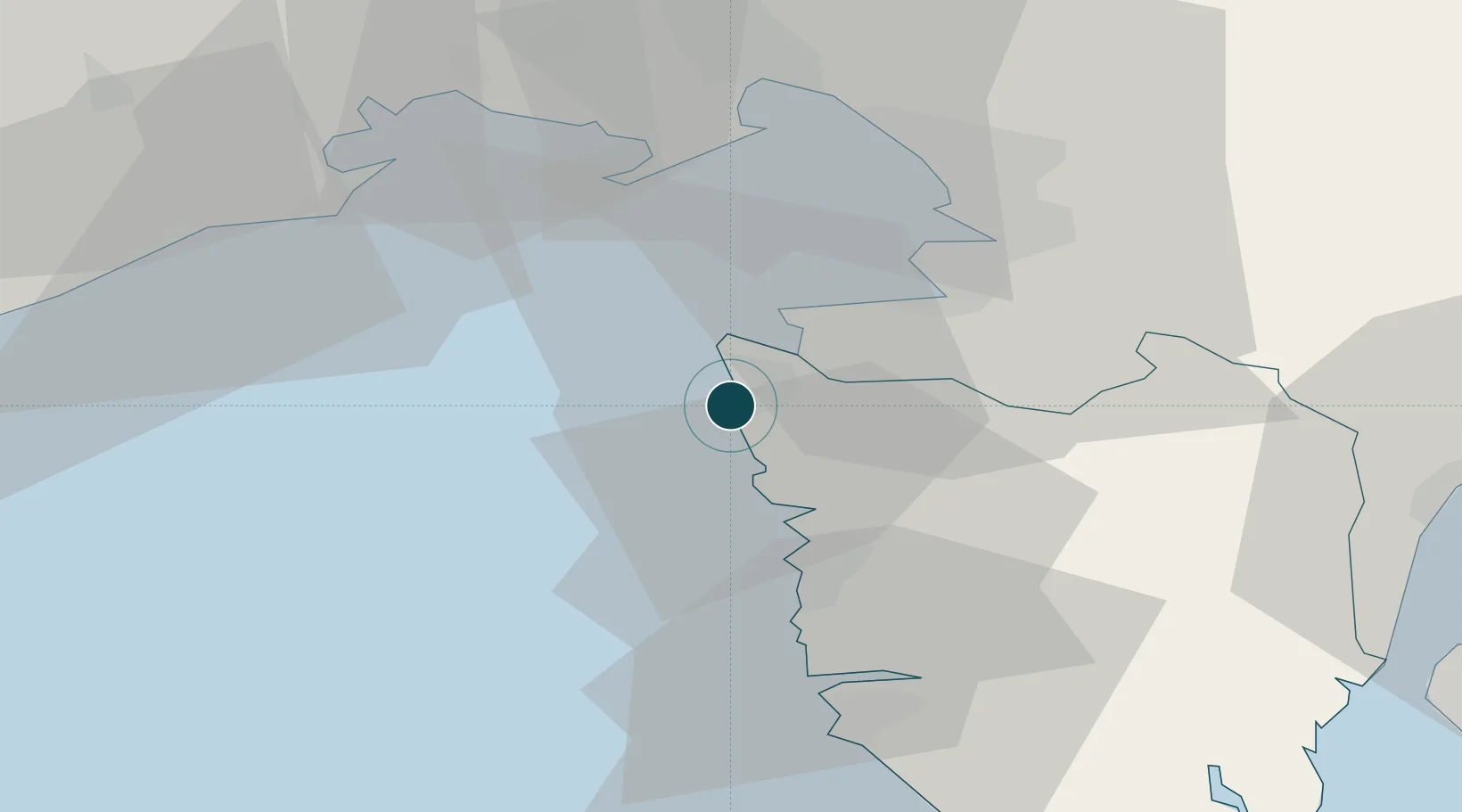
Location
Nearby Logistics Neighbours
Airports
- 1Portorož Airport9 km
- 2Trieste Airport44 km
- 3Pula Airport68 km
- 4Udine-Rivolto Air Base71 km
- 5Rijeka Airport86 km
Trade Zones
- 1Free Port of Trieste30 km
- 2Port of Rijeka Free Zone64 km
- 3Port of Pula Free Zone68 km
- 4Free Zone Kukuljanovo79 km
- 5Free Port of Venice94 km
DatabookThe Record of Consolidated Knowledge
Croatia beyond logistics?