Transport Functions
Rail
Road
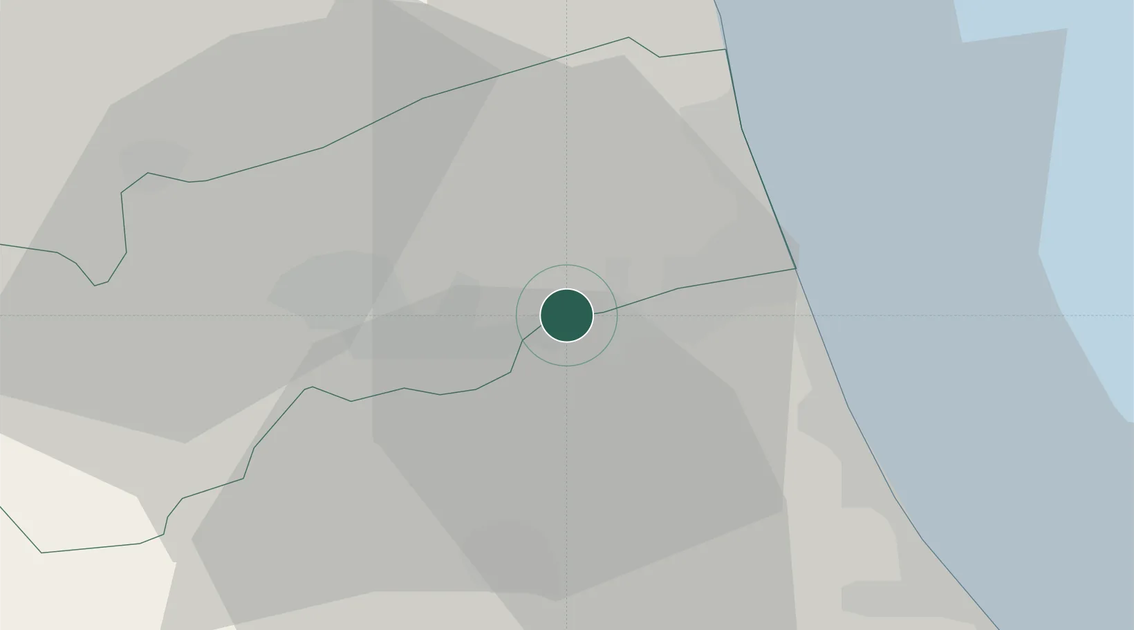
Hub Profile
Place type
District seat
Region
The Marches
Population
1,274
Time zone
Europe/Rome
Elevation
168 m
Location
Nearby Logistics Neighbours
Cities
- 1Monsampolo del Tronto6 km
- 2Sant'Omero11 km
- 3Castignano12 km
- 4San Benedetto del Tronto15 km
- 5Carassai18 km
Ports
- 1San Benedetto Del Tronto17 km
- 2Giulianova24 km
- 3Civitanova Marche50 km
- 4Pescara61 km
- 5Ortona80 km
Airports
- 1Abruzzo Airport61 km
- 2Marche Airport89 km
- 3Perugia San Francesco d'Assisi – Umbria International Airport103 km
- 4Guidonia Air Base127 km
- 5Rome Urbe Airport143 km
Trade Zones
- 1Abruzzo Special Economic Zone72 km
- 2Ionian Special Economic Zone130 km
- 3Port of Pula Free Zone222 km
- 4Port of Split Free Zone230 km
- 5Split-Dalmatia Free Zone233 km
DatabookThe Record of Consolidated Knowledge
Italy beyond logistics?