Transport Functions
Port
Rail
Road
Hub Profile
Place type
District seat
Region
The Marches
Population
10,308
Time zone
Europe/Rome
Elevation
6 m
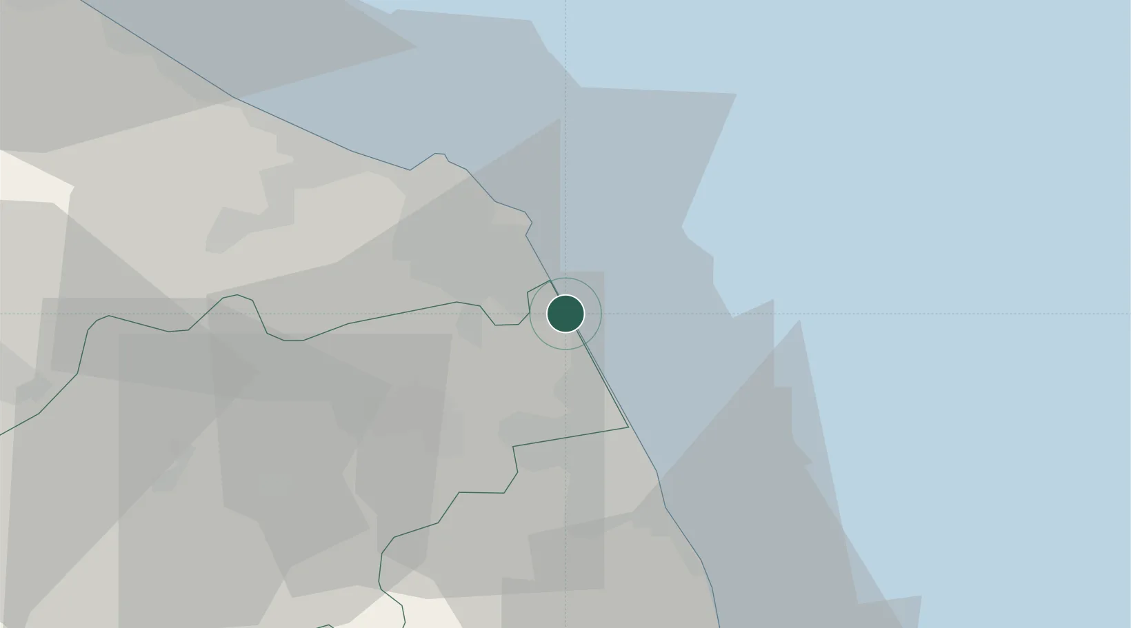
Location
Nearby Logistics Neighbours
Cities
- 1Loreto5 km
- 2Numana10 km
- 3Civitanova Marche16 km
- 4Porto Sant'Elpidio22 km
- 5Montegranaro22 km
Ports
- 1Civitanova Marche14 km
- 2Ancona26 km
- 3Senigallia48 km
- 4San Benedetto Del Tronto56 km
- 5Fano70 km
Airports
Trade Zones
- 1Abruzzo Special Economic Zone130 km
- 2Port of Pula Free Zone160 km
- 3Ionian Special Economic Zone193 km
- 4Port of Rijeka Free Zone201 km
- 5Free Zone Kukuljanovo222 km
DatabookThe Record of Consolidated Knowledge
Italy beyond logistics?