Transport Functions
Multimodal
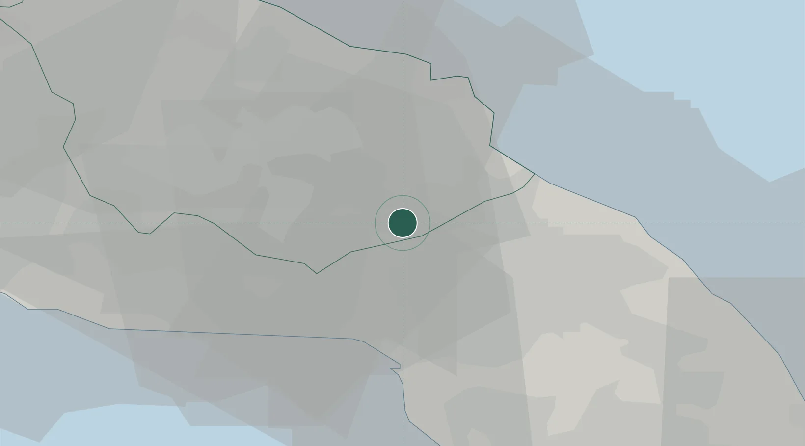
Hub Profile
Place type
District seat
Region
Apulia
Population
6,840
Time zone
Europe/Rome
Elevation
42 m
Location
Nearby Logistics Neighbours
Airports
DatabookThe Record of Consolidated Knowledge
Italy beyond logistics?