Transport Functions
Port
Hub Profile
Place type
Provincial seat
Region
Apulia
Population
87,141
Time zone
Europe/Rome
Elevation
13 m
Logistics facilities
1
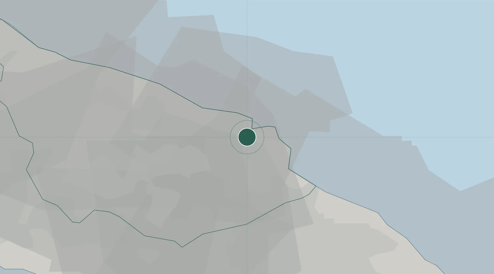
Location
Nearby Logistics Neighbours
Cities
- 1San Donaci20 km
- 2Latiano21 km
- 3Trepuzzi27 km
- 4Manduria37 km
- 5Leverano39 km
Ports
- 1Gallipoli63 km
- 2Monopoli65 km
- 3Taranto65 km
- 4Otranto71 km
- 5Mola Di Bari86 km
Airports
DatabookThe Record of Consolidated Knowledge
Italy beyond logistics?