Seaport · Italy

Mola Di BariITODB

41.0620°, 17.1000°
Mola Di Bari is also a UN/LOCODE logistics hub →

Channel & Berth Profile

NGA World Port Index

Facilities & Capabilities

Container
Ro-Ro
Liquid bulk
Dry bulk
Oil terminal
Break bulk
Dry dock
Repairs
Bunkering
Rail link
Dangerous cargo
ISPS security
NGA World Port Index

Harbour Specifications

Harbour size
Small
NGA World Port Index
Water body
Adriatic Sea; Mediterranean Sea; North Atlantic Ocean
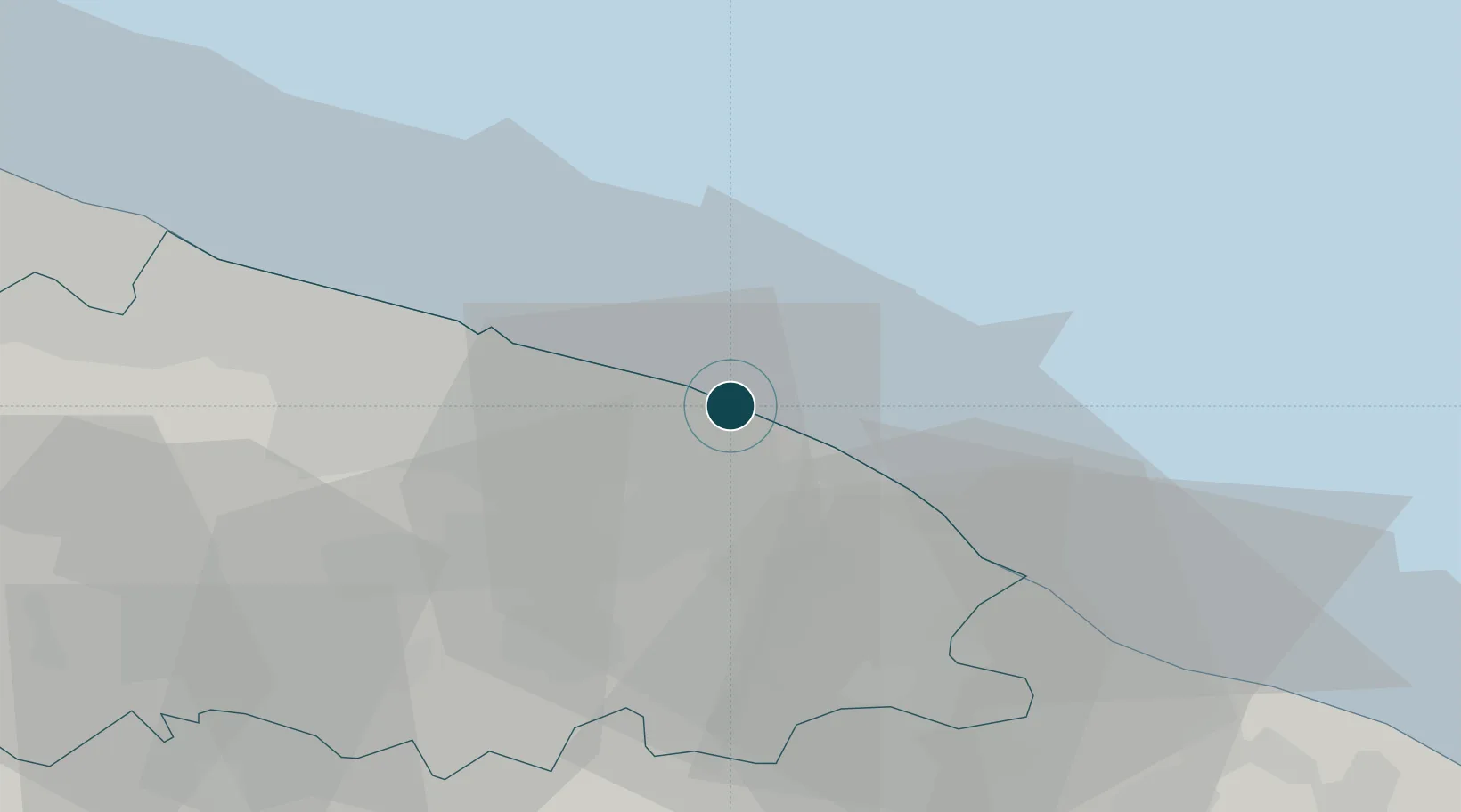
NGA World Port Index

Location

Location of ITODB
Natural Earth 10m (public domain) · Bari · ITODB · 41.06, 17.10GoogleOSMYandex

Nearby Logistics Neighbours

Ports
  1. 1Monopoli21 km
  2. 2Bari23 km
  3. 3Molfetta45 km
  4. 4Bisceglie54 km
  5. 5Trani62 km
Nearest neighbours — logibook spatial index (haversine) over the source coordinates
Cities
  1. 1Noicattaro10 km
  2. 2Conversano11 km
  3. 3Polignano a Mare12 km
  4. 4Triggiano15 km
  5. 5Capurso15 km
Nearest neighbours — logibook spatial index (haversine) over the source coordinates
DatabookThe Record of Consolidated Knowledge
Italy beyond logistics?
Browse databook

All Sources

Portsthe NGA World Port Index
Public domain (US gov)
AirportsOurAirports
Public domain
LocationsUN/LOCODE
UN/LOCODE — free
Trade Zonesthe World Bank SEZ database
CC BY 4.0
Trade ZonesOpen Zone Map
CC BY
← Italy ports