Transport Functions
Multimodal
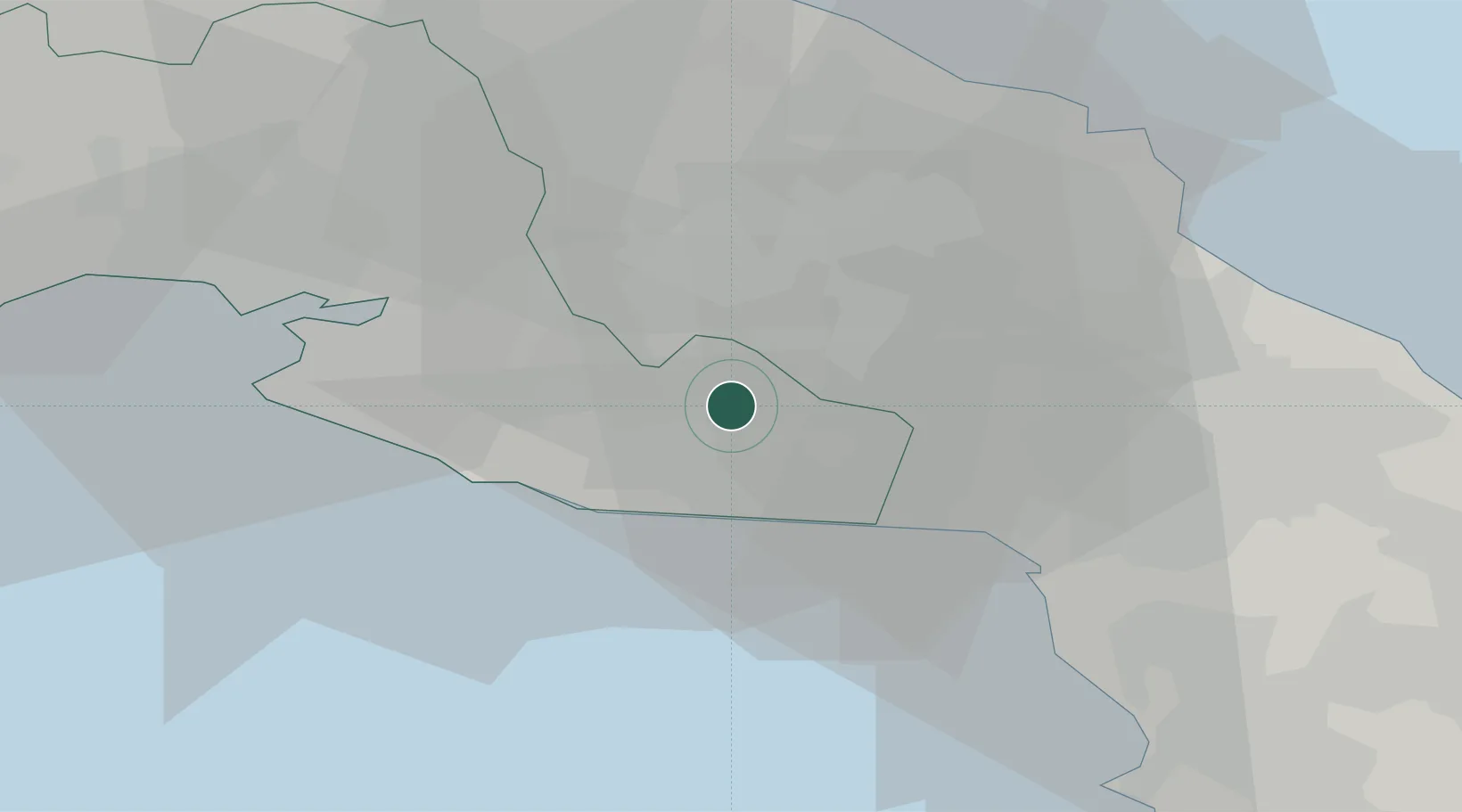
Hub Profile
Place type
District seat
Region
Apulia
Population
27,411
Time zone
Europe/Rome
Elevation
79 m
Location
Nearby Logistics Neighbours
Cities
- 1Sava7 km
- 2San Marzano di San Giuseppe13 km
- 3Latiano18 km
- 4Grottaglie23 km
- 5San Donaci25 km
Airports
Trade Zones
DatabookThe Record of Consolidated Knowledge
Italy beyond logistics?