Large airport · Iran

Qeshm International AirportOIKQ
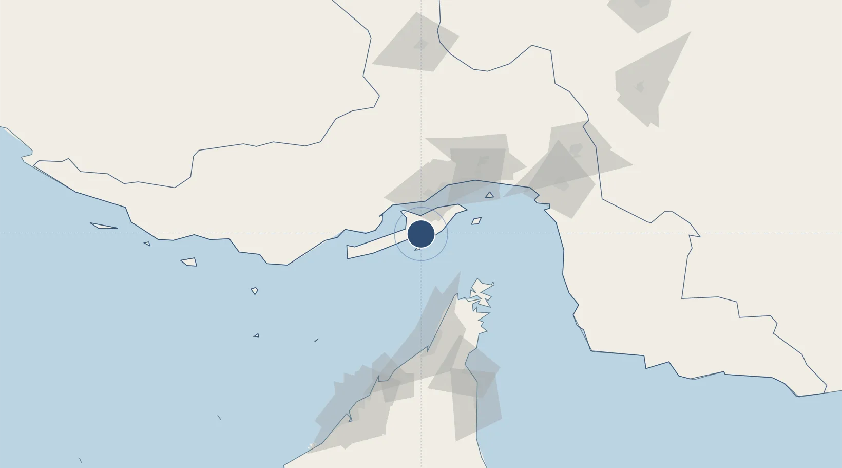
26.7546°, 55.9024°
13,864 ft
Longest runway
1
Runways
45 ft
Elevation

Runway & Layout

Qeshm International Airport runway & taxiway layout
Runway & taxiway layout — OpenStreetMap (ODbL) / OurAirports

Radio Frequencies

AFIS
118.05 MHz
INFO
OurAirports

Navaids

KHM NDB-DME Dayrestan 0.23 MHz
OurAirports

Runways · 1

RunwayDimensions SurfaceTrue headingLit
05/23 13,864 × 148ft Asphalt 050°
OurAirports

Airport Specifications

IATA code
GSM
OurAirports
ICAO code
OIKQ
OurAirports
Airport class
Large airport
OurAirports
Scheduled service
Yes
OurAirports
Runway surface
Asphalt
OurAirports
Served city
Qeshm(Dayrestan)
OurAirports

Location

Location of OIKQ
Natural Earth 10m (public domain) · Hormozgan · OIKQ · 26.75, 55.90GoogleOSMYandex

Nearby Logistics Neighbours

Airports
  1. 1Bandar Abbas International Airport70 km
  2. 2Khasab Airport73 km
  3. 3Bandar Lengeh International Airport110 km
  4. 4Ras Al Khaimah International Airport127 km
  5. 5Abu Musa Island Airport131 km
Nearest neighbours — logibook spatial index (haversine) over the source coordinates
Cities
  1. 1Kuvei24 km
  2. 2Shahid Rajaee Pt/Bandar Abbas43 km
  3. 3Bandar Abbas48 km
  4. 4Shahid Bahonar51 km
  5. 5Quoin Island64 km
Nearest neighbours — logibook spatial index (haversine) over the source coordinates
Ports
  1. 1Bandar-E Shahid Rejaie42 km
  2. 2Bandar Abbas53 km
  3. 3Jazireh-Ye Hormoz67 km
  4. 4Khawr Khasab68 km
  5. 5Hulaylah Oil Terminal86 km
Nearest neighbours — logibook spatial index (haversine) over the source coordinates
Trade Zones
  1. 1Qeshm Free Trade - Industrial Zone43 km
  2. 2Shahid Rajaei Saheed Rajaee Port43 km
  3. 3Special Economic Zone of the Persian Gulf Mining and Metal Industries46 km
  4. 4RAK Maritime City Free Zone92 km
  5. 5RAKEZ Academic Zone113 km
Nearest neighbours — logibook spatial index (haversine) over the source coordinates
DatabookThe Record of Consolidated Knowledge
Iran beyond logistics?
Browse databook

All Sources

AirportsOurAirports
Public domain
Portsthe NGA World Port Index
Public domain (US gov)
LocationsUN/LOCODE
UN/LOCODE — free
Trade Zonesthe World Bank SEZ database
CC BY 4.0
Trade ZonesOpen Zone Map
CC BY
InfrastructureOpenStreetMap
ODbL 1.0
← Iran airports