UN/LOCODE hub · United Arab Emirates
AEAJP

Al Jeer Port

26.0333°, 56.0500°
2
Transport functions

Transport Functions

Port
Road
UN/LOCODE

Hub Profile

Region
RK
GeoNames

Location

Location of AEAJP
Natural Earth 10m (public domain) · RK · AEAJP · 26.03, 56.05GoogleOSMYandex

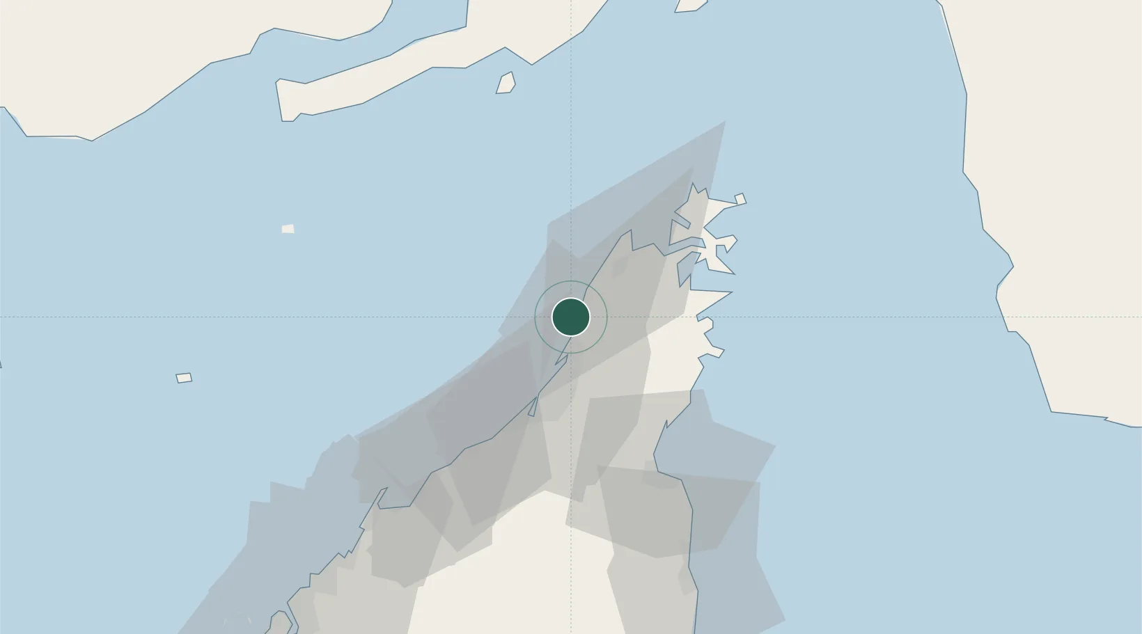
Nearby Logistics Neighbours

Cities
  1. 1Ras al Khaimah6 km
  2. 2Stevin Rock7 km
  3. 3Mina Saqr8 km
  4. 4Rak Maritime City9 km
  5. 5Hulaylah Terminal13 km
Nearest neighbours — logibook spatial index (haversine) over the source coordinates
Ports
  1. 1Mina Saqr6 km
  2. 2Hulaylah Oil Terminal13 km
  3. 3Khawr Khasab27 km
  4. 4Al Jazeera Port44 km
  5. 5Umm Al Qaywayn69 km
Nearest neighbours — logibook spatial index (haversine) over the source coordinates
Airports
  1. 1Khasab Airport24 km
  2. 2Ras Al Khaimah International Airport48 km
  3. 3Qeshm International Airport82 km
  4. 4Sharjah International Airport95 km
  5. 5Abu Musa Island Airport103 km
Nearest neighbours — logibook spatial index (haversine) over the source coordinates
Trade Zones
  1. 1RAK Maritime City Free Zone10 km
  2. 2RAKEZ Academic Zone36 km
  3. 3RAKEZ Al Hamra Industrial Zone46 km
  4. 4Ras Al Khaimah Technology Park49 km
  5. 5Ras Al Khaimah Media Free Zone and Film City (RAKMFZ)49 km
Nearest neighbours — logibook spatial index (haversine) over the source coordinates
DatabookThe Record of Consolidated Knowledge
United Arab Emirates beyond logistics?
Browse databook

All Sources

LocationsUN/LOCODE
UN/LOCODE — free
Portsthe NGA World Port Index
Public domain (US gov)
AirportsOurAirports
Public domain
Trade Zonesthe World Bank SEZ database
CC BY 4.0
Trade ZonesOpen Zone Map
CC BY
← United Arab Emirates locations