UN/LOCODE hub · India
INTVI

Tiruvannamalai

12.2167°, 79.0667°
145,278
Population
1
Transport functions

Transport Functions

Multimodal
UN/LOCODE

Hub Profile

Place type
Populated place
GeoNames
Region
Tamil Nadu
GeoNames
Population
145,278
GeoNames
Time zone
Asia/Kolkata
GeoNames
Elevation
174 m
GeoNames

Location

Location of INTVI
Natural Earth 10m (public domain) · Tamil Nadu · INTVI · 12.22, 79.07GoogleOSMYandex

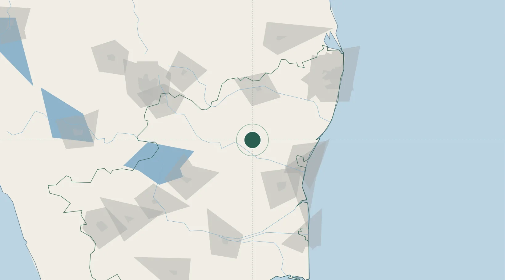
Nearby Logistics Neighbours

Cities
  1. 1SIPC SEZ/Vellore80 km
  2. 2Cheyyar-SEZ/Vellore80 km
  3. 3Pondicherry88 km
  4. 4NCTL(ENGG) SEZ/Kancheepuram97 km
  5. 5ECTN SEZ/Krishnagiri97 km
Nearest neighbours — logibook spatial index (haversine) over the source coordinates
Ports
  1. 1Pondicherry89 km
  2. 2Cuddalore94 km
  3. 3Chennai (Madras)166 km
  4. 4Karaikal Port177 km
  5. 5Kamarajar Port181 km
Nearest neighbours — logibook spatial index (haversine) over the source coordinates
Airports
  1. 1Pondicherry Airport86 km
  2. 2Salem Airport119 km
  3. 3Chennai International Airport147 km
  4. 4Tirupati International Airport166 km
  5. 5Tiruchirappalli International Airport166 km
Nearest neighbours — logibook spatial index (haversine) over the source coordinates
DatabookThe Record of Consolidated Knowledge
India beyond logistics?
Browse databook

All Sources

LocationsUN/LOCODE
UN/LOCODE — free
LocationsGeoNames
CC BY 4.0
Portsthe NGA World Port Index
Public domain (US gov)
AirportsOurAirports
Public domain
Trade Zonesthe World Bank SEZ database
CC BY 4.0
Trade ZonesOpen Zone Map
CC BY
← India locations