Large airport · India

Veer Savarkar International Airport / INS UtkroshVOPB
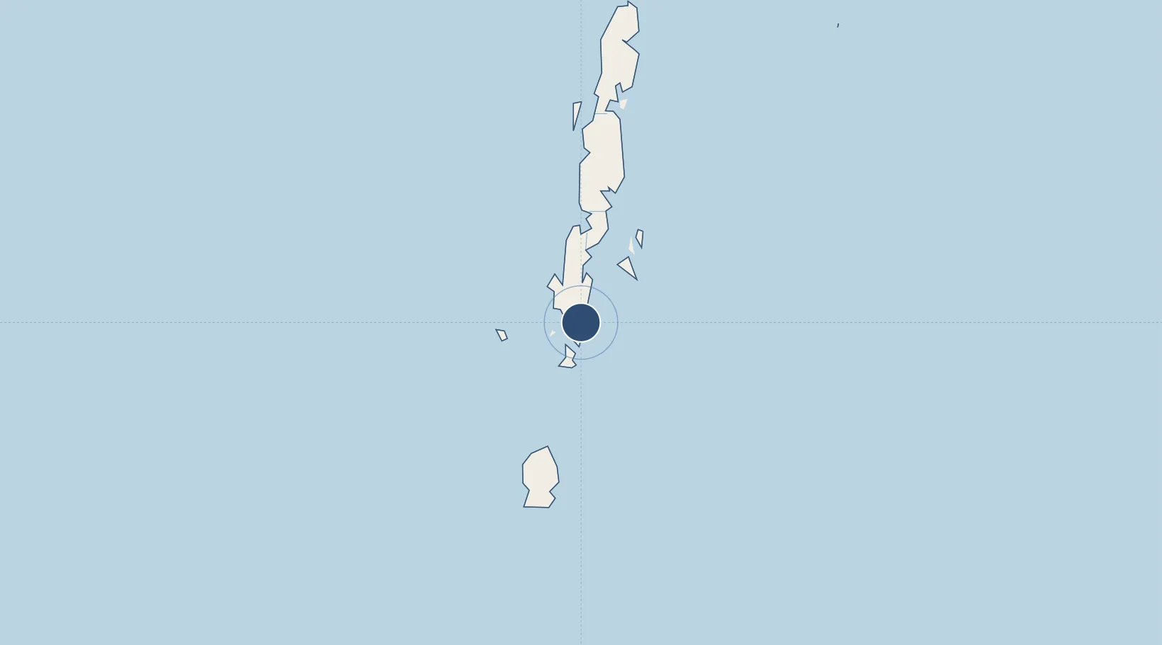
11.6402°, 92.7290°
10,795 ft
Longest runway
1
Runways
13 ft
Elevation

Runway & Layout

Veer Savarkar International Airport / INS Utkrosh runway & taxiway layout
Runway & taxiway layout — OpenStreetMap (ODbL) / OurAirports

Radio Frequencies

ATIS
126.4 MHz
TWR
123.5 MHz
APP
118.1 MHz
A/G
658.3 MHz
RDO
OurAirports

Navaids

PPB VOR-DME Port Blair 115.70 MHz
OurAirports

Runways · 1

RunwayDimensions SurfaceTrue headingLit
04/22 10,795 × 148ft Asphalt 036°
OurAirports

Airport Specifications

IATA code
IXZ
OurAirports
ICAO code
VOPB
OurAirports
Airport class
Large airport
OurAirports
Scheduled service
Yes
OurAirports
Runway surface
Asphalt
OurAirports
Served city
Port Blair
OurAirports

Location

Location of VOPB
Natural Earth 10m (public domain) · Andaman and Nicobar · VOPB · 11.64, 92.73GoogleOSMYandex

Nearby Logistics Neighbours

Airports
  1. 1Car Nicobar Air Force Base277 km
  2. 2Campbell Bay Airport / INS Baaz531 km
  3. 3Pathein Airport616 km
  4. 4Myeik Airport647 km
  5. 5Dawei Airport654 km
Nearest neighbours — logibook spatial index (haversine) over the source coordinates
Cities
  1. 1Armenia422 km
  2. 2Kyaiklat639 km
  3. 3Ranong671 km
  4. 4Thilawa674 km
  5. 5Pazundaung681 km
Nearest neighbours — logibook spatial index (haversine) over the source coordinates
Ports
  1. 1Port Blair4 km
  2. 2Bassein611 km
  3. 3Mergui645 km
  4. 4Rangoon680 km
  5. 5Sabang700 km
Nearest neighbours — logibook spatial index (haversine) over the source coordinates
Trade Zones
  1. 1Lampulo Fisheries Industrial Estate731 km
  2. 2Thai Diamond City Industrial Estate774 km
  3. 3Kanchanaburi Special Economic Zone775 km
  4. 4Khao Yoi Industrial Park788 km
  5. 5Ratchaburi Industrial Estate, Rie797 km
Nearest neighbours — logibook spatial index (haversine) over the source coordinates
DatabookThe Record of Consolidated Knowledge
India beyond logistics?
Browse databook

All Sources

AirportsOurAirports
Public domain
Portsthe NGA World Port Index
Public domain (US gov)
LocationsUN/LOCODE
UN/LOCODE — free
Trade Zonesthe World Bank SEZ database
CC BY 4.0
Trade ZonesOpen Zone Map
CC BY
InfrastructureOpenStreetMap
ODbL 1.0
← India airports