Medium airport · India

Car Nicobar Air Force BaseVOCX
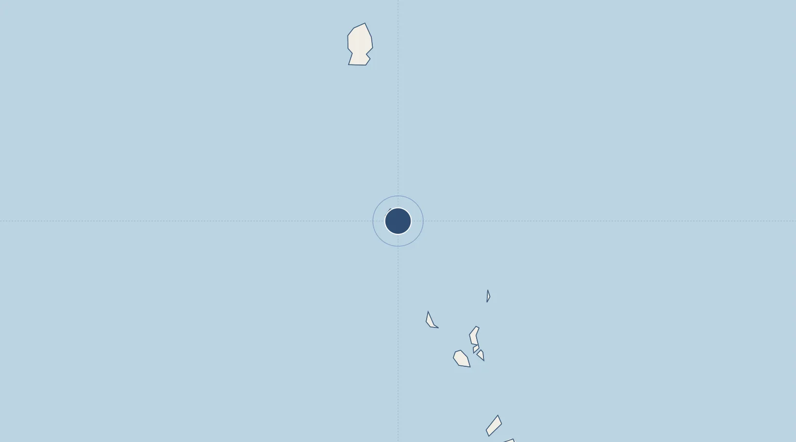
9.1531°, 92.8193°
8,914 ft
Longest runway
1
Runways
5 ft
Elevation

Runway & Layout

Car Nicobar Air Force Base runway & taxiway layout
Runway & taxiway layout — OpenStreetMap (ODbL) / OurAirports

Radio Frequencies

TWR
122.5 MHz
APP
122.5 MHz
A/G
669.6 MHz
RDO
OurAirports

Navaids

CN NDB Carnicobar 355 kHz
OurAirports

Runways · 1

RunwayDimensions SurfaceTrue headingLit
02/20 8,914 × 140ft Concrete 020°
OurAirports

Airport Specifications

IATA code
CBD
OurAirports
ICAO code
VOCX
OurAirports
Airport class
Medium airport
OurAirports
Scheduled service
No
OurAirports
Runway surface
Concrete
OurAirports
Served city
IAF Camp
OurAirports

Location

Location of VOCX
Natural Earth 10m (public domain) · Andaman and Nicobar · VOCX · 9.15, 92.82GoogleOSMYandex

Nearby Logistics Neighbours

Airports
  1. 1Campbell Bay Airport / INS Baaz267 km
  2. 2Veer Savarkar International Airport / INS Utkrosh277 km
  3. 3Sultan Iskandar Muda International Airport495 km
  4. 4Phuket International Airport615 km
  5. 5Malikus Saleh Airport631 km
Nearest neighbours — logibook spatial index (haversine) over the source coordinates
Cities
  1. 1Balohan463 km
  2. 2Sabang, Sumatra463 km
  3. 3Ban Talat Takua Pa610 km
  4. 4Armenia626 km
  5. 5Phuket Port632 km
Nearest neighbours — logibook spatial index (haversine) over the source coordinates
Ports
  1. 1Port Blair281 km
  2. 2Sabang456 km
  3. 3Uleelheue483 km
  4. 4Phuket631 km
  5. 5Blanglancang643 km
Nearest neighbours — logibook spatial index (haversine) over the source coordinates
Trade Zones
  1. 1Lampulo Fisheries Industrial Estate483 km
  2. 2KEK Arun Lhokseumawe642 km
  3. 3Thai Diamond City Industrial Estate859 km
  4. 4Southern Region Industrial Estate(Songkhla)864 km
  5. 5Songkhla Special Economic Zone883 km
Nearest neighbours — logibook spatial index (haversine) over the source coordinates
DatabookThe Record of Consolidated Knowledge
India beyond logistics?
Browse databook

All Sources

AirportsOurAirports
Public domain
Portsthe NGA World Port Index
Public domain (US gov)
LocationsUN/LOCODE
UN/LOCODE — free
Trade Zonesthe World Bank SEZ database
CC BY 4.0
Trade ZonesOpen Zone Map
CC BY
InfrastructureOpenStreetMap
ODbL 1.0
← India airports