Transport Functions
Port
Road
Multimodal
Hub Profile
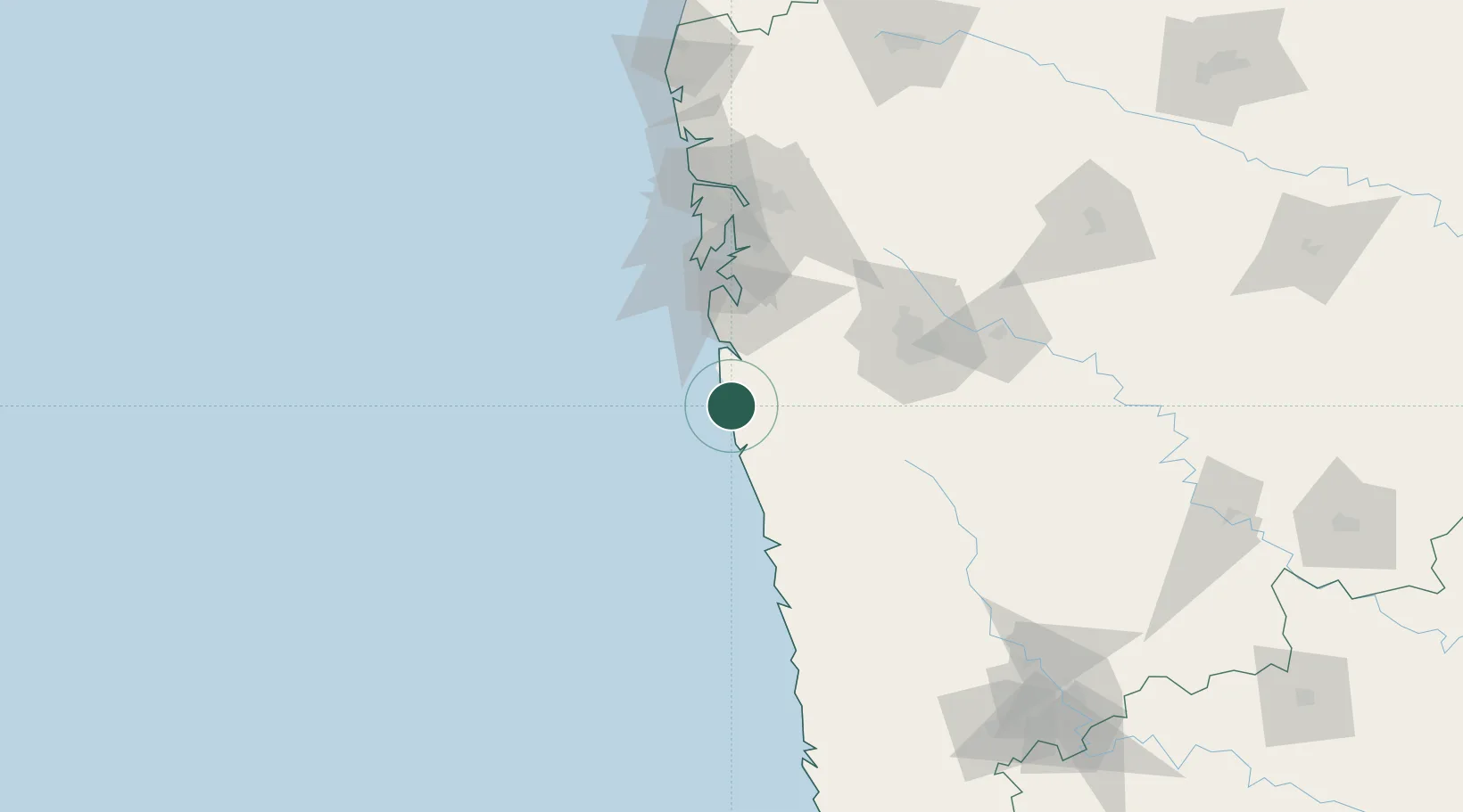
Region
MH
Location
Nearby Logistics Neighbours
Cities
- 1IT-ITES-B-SEZ/Ulwe49 km
- 2Multi Services-SEZ/Ulwe49 km
- 3IT-ITES-A-SEZ/Ulwe49 km
- 4IT-ITES-C-SEZ/Ulwe68 km
- 5PDPL SEZ/Raigarh69 km
Ports
- 1Port Dabhol77 km
- 2Jawaharlal Nehru Port (Nhava Shiva)78 km
- 3Mumbai (Bombay)80 km
- 4Jaigarh Bay109 km
- 5Ratnagiri145 km
Airports
Trade Zones
DatabookThe Record of Consolidated Knowledge
India beyond logistics?