Channel & Berth Profile
Pilotage, Tugs & Services
Pilotage compulsoryNO
Pilotage availableYES
Pilotage advisableYES
Potable waterYES
Diesel bunkersYES
MedicalYES
Garbage disposalYES
Facilities & Capabilities
ContainerYES
Ro-Ro—
Liquid bulkYES
Dry bulk—
Oil terminal—
Break bulkYES
Dry dockNO
RepairsNO
Bunkering—
Rail link—
Dangerous cargo—
ISPS securityYES
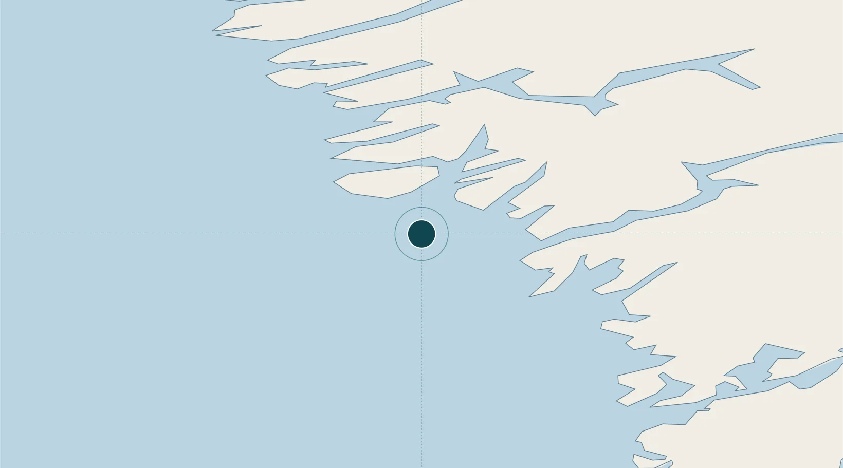
Harbour Specifications
Harbour size
Very Small
Harbour type
Coastal (Natural)
Shelter
Fair
Water body
Labrador Sea; North Atlantic Ocean
Tidal range
4.2 m
Pilotage
No
Location
Nearby Logistics Neighbours
Ports
- 1Nuuk148 km
- 2Sisimiut171 km
- 3Soendre Stroemfjord192 km
- 4Faeringehavn204 km
- 5Aasiaat366 km
Cities
- 1Toqqusaq70 km
- 2Seqi Olivine Mine80 km
- 3Nuuk (Godthaab)148 km
- 4Kangerlussuaq Havn194 km
- 5Maarmorliik639 km
Airports
- 1Maniitsoq Airport1 km
- 2Nuuk International Airport148 km
- 3Sisimiut Airport175 km
- 4Kangerlussuaq International Airport203 km
- 5Attu Heliport282 km
Trade Zones
- 1Crossroads Business Park1834 km
- 2Cape Breton Regional Municipality Foreign Trade Zone2192 km
- 3FTZ No. 179 Madawaska2215 km
- 4Québec City FTZ2339 km
- 5Saint John2378 km
DatabookThe Record of Consolidated Knowledge
Greenland beyond logistics?