Large airport · Greenland
Nuuk International AirportBGGH
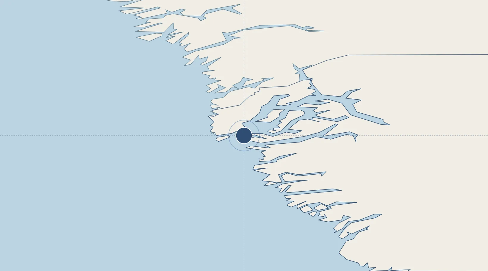
64.1911°, -51.6791°
7,217 ft
Longest runway
1
Runways
283 ft
Elevation
Runway & Layout

Radio Frequencies
AFIS
119.1 MHz
Navaids
GH NDB Godthab/Nuuk 314 kHz
GN DME Godthaab 110.30 MHz
NK NDB Godthab/Nuuk 273 kHz
QT NDB Godthab/Nuuk 258 kHz
Runways · 1
| Runway | Dimensions | Surface | True heading | Lit |
|---|---|---|---|---|
| 04/22 | 7,217 × 148ft | ASPH | — | ✓ |
Airport Specifications
IATA code
GOH
ICAO code
BGGH
Airport class
Large airport
Scheduled service
Yes
Runway surface
ASPH
Served city
Nuuk
Location
Nearby Logistics Neighbours
Airports
- 1Maniitsoq Airport148 km
- 2Paamiut Airport262 km
- 3Kangerlussuaq International Airport317 km
- 4Sisimiut Airport321 km
- 5Kangilinnguit Heliport377 km
Cities
- 1Nuuk (Godthaab)4 km
- 2Toqqusaq79 km
- 3Seqi Olivine Mine86 km
- 4Kangerlussuaq Havn311 km
- 5Nalunaq Gold Mine554 km
Ports
- 1Nuuk4 km
- 2Faeringehavn57 km
- 3Maniitsoq148 km
- 4Paamuit (Frederikshab)264 km
- 5Soendre Stroemfjord309 km
Trade Zones
- 1Crossroads Business Park1704 km
- 2Cape Breton Regional Municipality Foreign Trade Zone2081 km
- 3FTZ No. 179 Madawaska2135 km
- 4Québec City FTZ2269 km
- 5Saint John2285 km
DatabookThe Record of Consolidated Knowledge
Greenland beyond logistics?