Transport Functions
Port
Road
Airport
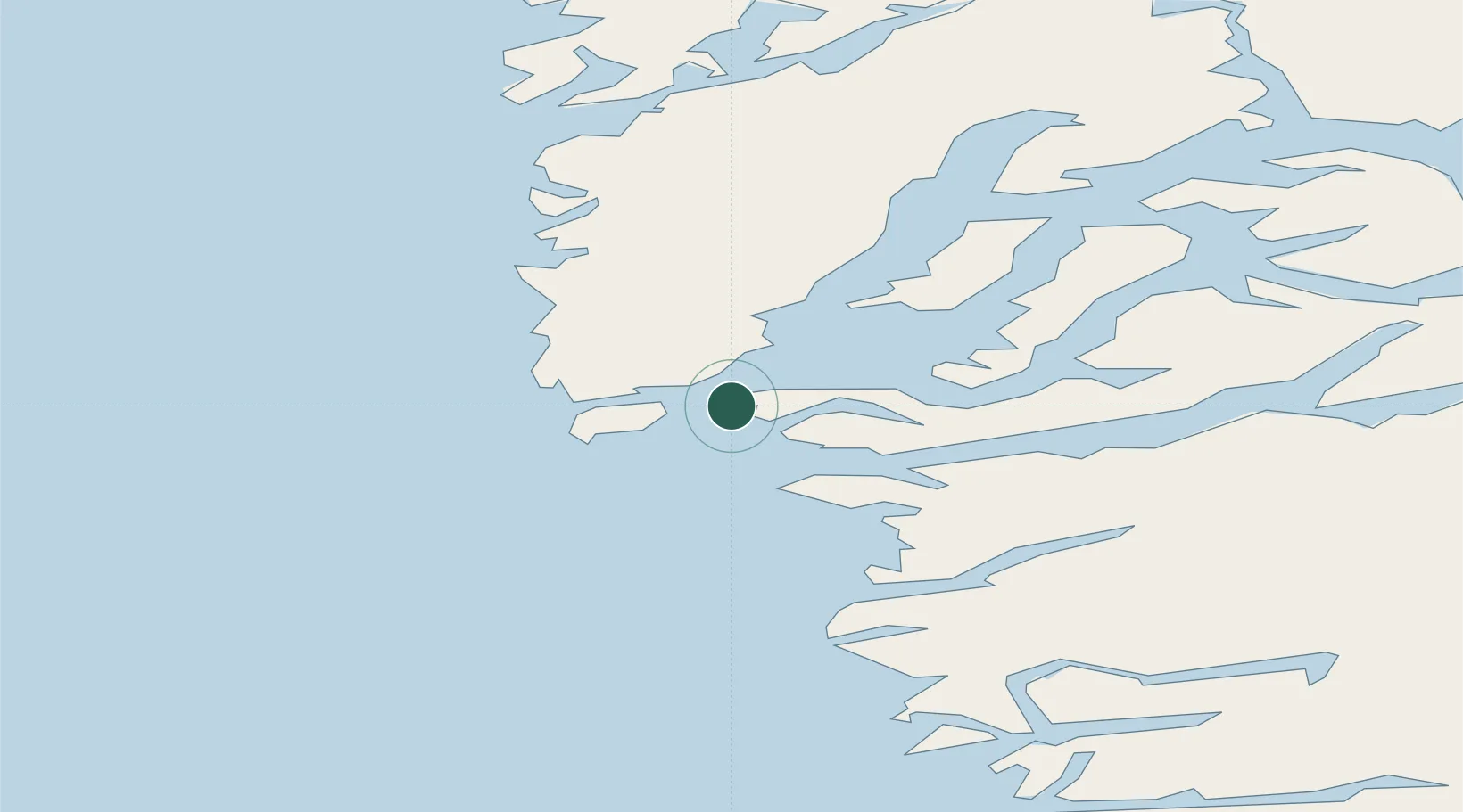
Location
Nearby Logistics Neighbours
Cities
- 1Toqqusaq79 km
- 2Seqi Olivine Mine88 km
- 3Kangerlussuaq Havn312 km
- 4Nalunaq Gold Mine556 km
- 5Maarmorliik773 km
Ports
- 1Faeringehavn57 km
- 2Maniitsoq148 km
- 3Paamuit (Frederikshab)264 km
- 4Soendre Stroemfjord310 km
- 5Sisimiut317 km
Airports
- 1Nuuk International Airport4 km
- 2Maniitsoq Airport148 km
- 3Paamiut Airport263 km
- 4Kangerlussuaq International Airport318 km
- 5Sisimiut Airport321 km
Trade Zones
- 1Crossroads Business Park1703 km
- 2Cape Breton Regional Municipality Foreign Trade Zone2079 km
- 3FTZ No. 179 Madawaska2133 km
- 4Québec City FTZ2267 km
- 5Saint John2282 km
DatabookThe Record of Consolidated Knowledge
Greenland beyond logistics?