Channel & Berth Profile
Pilotage, Tugs & Services
Pilotage compulsoryNO
Pilotage availableYES
Pilotage advisableYES
Local assistanceYES
Tug assistanceYES
Salvage tugsNO
Potable waterYES
Diesel bunkersYES
MedicalYES
Garbage disposalYES
Facilities & Capabilities
ContainerYES
Ro-Ro—
Liquid bulk—
Dry bulk—
Oil terminal—
Break bulkYES
Dry dock—
RepairsNO
BunkeringYES
Rail link—
Dangerous cargo—
ISPS securityYES
Harbour Specifications
Harbour size
Small
Harbour type
Coastal (Natural)
Shelter
Good
Water body
Baffin Bay; Arctic Ocean
Tidal range
2.6 m
Pilotage
No
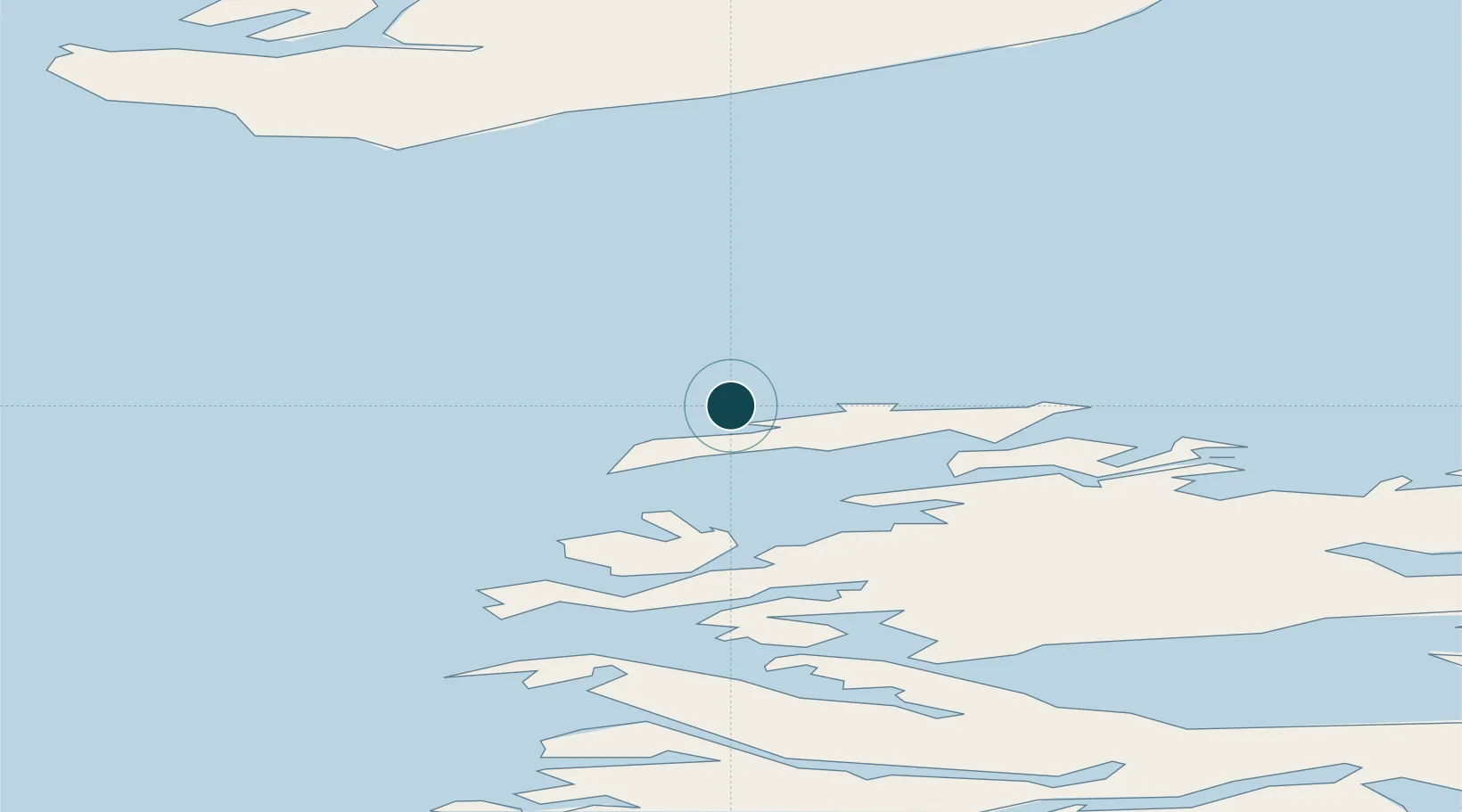
Location
Nearby Logistics Neighbours
Ports
- 1Qeqertarsuaq64 km
- 2Qasigiannguit-Christianshab69 km
- 3Illulissat (Jakobshavn)90 km
- 4Sisimiut203 km
- 5Soendre Stroemfjord212 km
Cities
- 1Kangerlussuaq Havn210 km
- 2Maarmorliik276 km
- 3Seqi Olivine Mine420 km
- 4Toqqusaq428 km
- 5Nuuk (Godthaab)506 km
Airports
- 1Aasiaat Airport4 km
- 2Kitsissuarsuit Heliport19 km
- 3Akunnaaq Heliport22 km
- 4Ikamiut Heliport43 km
- 5Kangaatsiaq Heliport50 km
Trade Zones
- 1Crossroads Business Park2200 km
- 2FTZ No. 179 Madawaska2534 km
- 3Cape Breton Regional Municipality Foreign Trade Zone2546 km
- 4Québec City FTZ2641 km
- 5Saint John2712 km
DatabookThe Record of Consolidated Knowledge
Greenland beyond logistics?