Small airport · Greenland
Maniitsoq AirportBGMQ
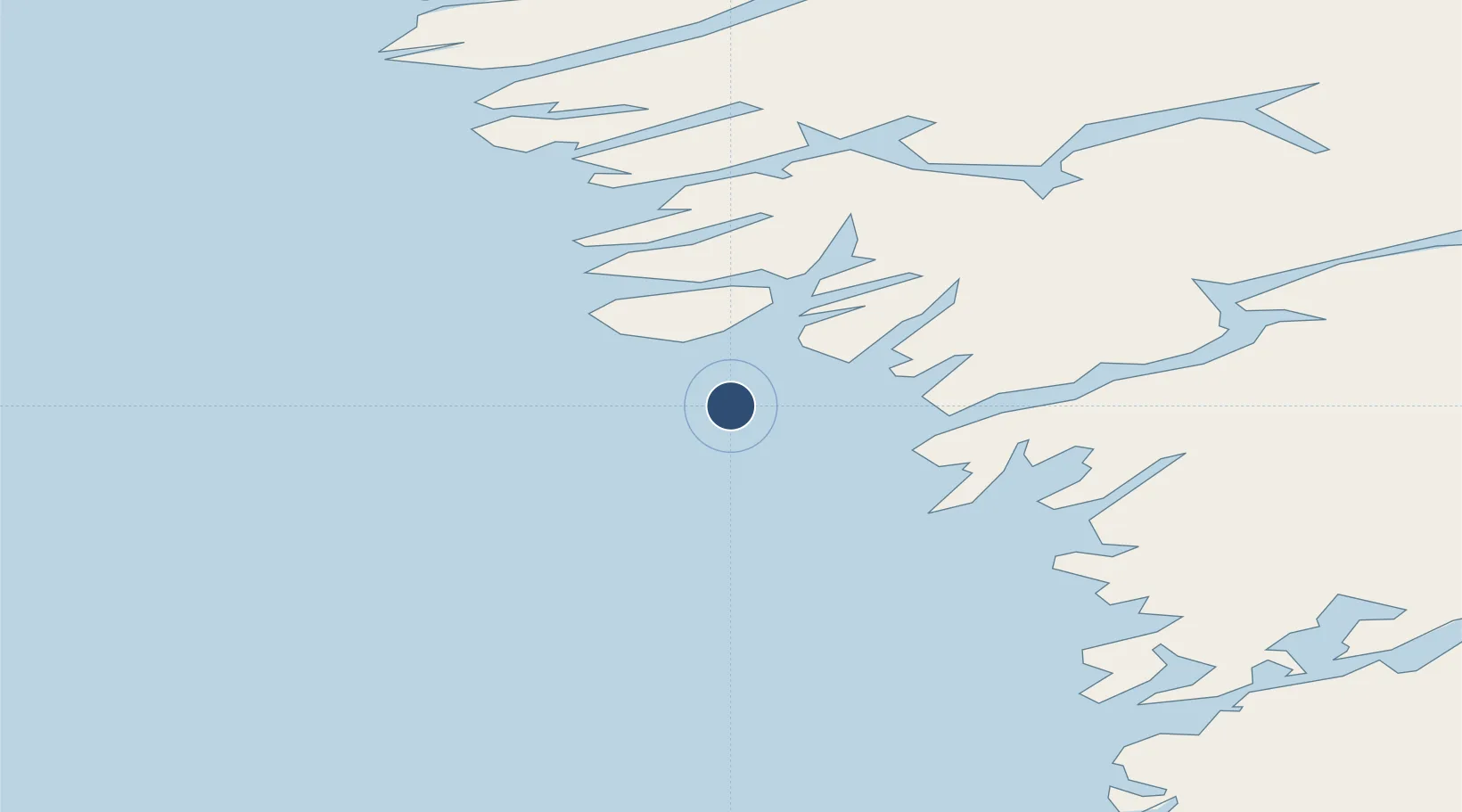
65.4125°, -52.9394°
2,621 ft
Longest runway
1
Runways
91 ft
Elevation
Runway & Layout

Navaids
MA NDB Maniitsoq 391 kHz
MS DME Maniitsoq 110.55 MHz
Runways · 1
| Runway | Dimensions | Surface | True heading | Lit |
|---|---|---|---|---|
| 16/34 | 2,621 × 98ft | ASPH | — | — |
Airport Specifications
IATA code
JSU
ICAO code
BGMQ
Airport class
Small airport
Scheduled service
Yes
Runway surface
ASPH
Served city
Maniitsoq
Location
Nearby Logistics Neighbours
Airports
- 1Nuuk International Airport148 km
- 2Sisimiut Airport175 km
- 3Kangerlussuaq International Airport204 km
- 4Attu Heliport283 km
- 5Iginniarfik Heliport304 km
Cities
- 1Toqqusaq70 km
- 2Seqi Olivine Mine81 km
- 3Nuuk (Godthaab)148 km
- 4Kangerlussuaq Havn195 km
- 5Maarmorliik640 km
Ports
- 1Maniitsoq1 km
- 2Nuuk148 km
- 3Sisimiut171 km
- 4Soendre Stroemfjord193 km
- 5Faeringehavn204 km
Trade Zones
- 1Crossroads Business Park1833 km
- 2Cape Breton Regional Municipality Foreign Trade Zone2191 km
- 3FTZ No. 179 Madawaska2214 km
- 4Québec City FTZ2338 km
- 5Saint John2377 km
DatabookThe Record of Consolidated Knowledge
Greenland beyond logistics?