Transport Functions
Port
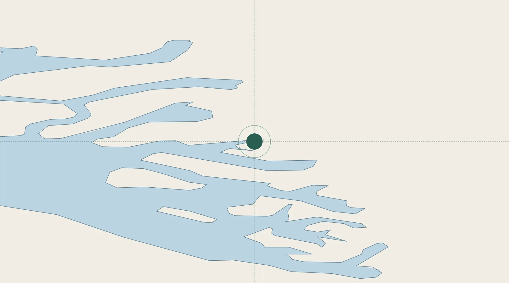
Location
Nearby Logistics Neighbours
Cities
- 1Kullorsuaq429 km
- 2Kangerlussuaq Havn464 km
- 3Seqi Olivine Mine686 km
- 4Toqqusaq698 km
- 5Nuuk (Godthaab)773 km
Ports
- 1Uummannaq60 km
- 2Kajalleq Upernavik187 km
- 3Illulissat (Jakobshavn)213 km
- 4Qeqertarsuaq228 km
- 5Qasigiannguit-Christianshab258 km
Airports
- 1Ukkusissat Heliport24 km
- 2Saattut Heliport38 km
- 3Uummannaq Heliport59 km
- 4Qaarsut Airport68 km
- 5Ikerasak Heliport71 km
Trade Zones
- 1Crossroads Business Park2473 km
- 2FTZ No. 179 Madawaska2800 km
- 3Cape Breton Regional Municipality Foreign Trade Zone2822 km
- 4Québec City FTZ2902 km
- 5Saint John2984 km
DatabookThe Record of Consolidated Knowledge
Greenland beyond logistics?