Transport Functions
Port
Hub Profile
Place type
Populated place
Region
Qeqqata
Time zone
America/Nuuk
Elevation
43 m
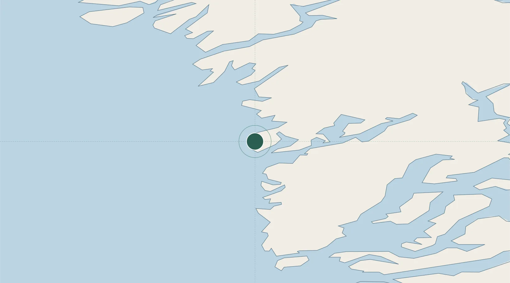
Location
Nearby Logistics Neighbours
Cities
- 1Seqi Olivine Mine32 km
- 2Nuuk (Godthaab)79 km
- 3Kangerlussuaq Havn241 km
- 4Nalunaq Gold Mine627 km
- 5Maarmorliik698 km
Ports
- 1Maniitsoq70 km
- 2Nuuk79 km
- 3Faeringehavn136 km
- 4Sisimiut238 km
- 5Soendre Stroemfjord239 km
Airports
- 1Maniitsoq Airport70 km
- 2Nuuk International Airport79 km
- 3Sisimiut Airport242 km
- 4Kangerlussuaq International Airport248 km
- 5Paamiut Airport341 km
Trade Zones
- 1Crossroads Business Park1776 km
- 2Cape Breton Regional Municipality Foreign Trade Zone2143 km
- 3FTZ No. 179 Madawaska2182 km
- 4Québec City FTZ2311 km
- 5Saint John2339 km
DatabookThe Record of Consolidated Knowledge
Greenland beyond logistics?