Large airport · Greenland
Kangerlussuaq International AirportBGSF
67.0104°, -50.7153°
9,219 ft
Longest runway
1
Runways
165 ft
Elevation
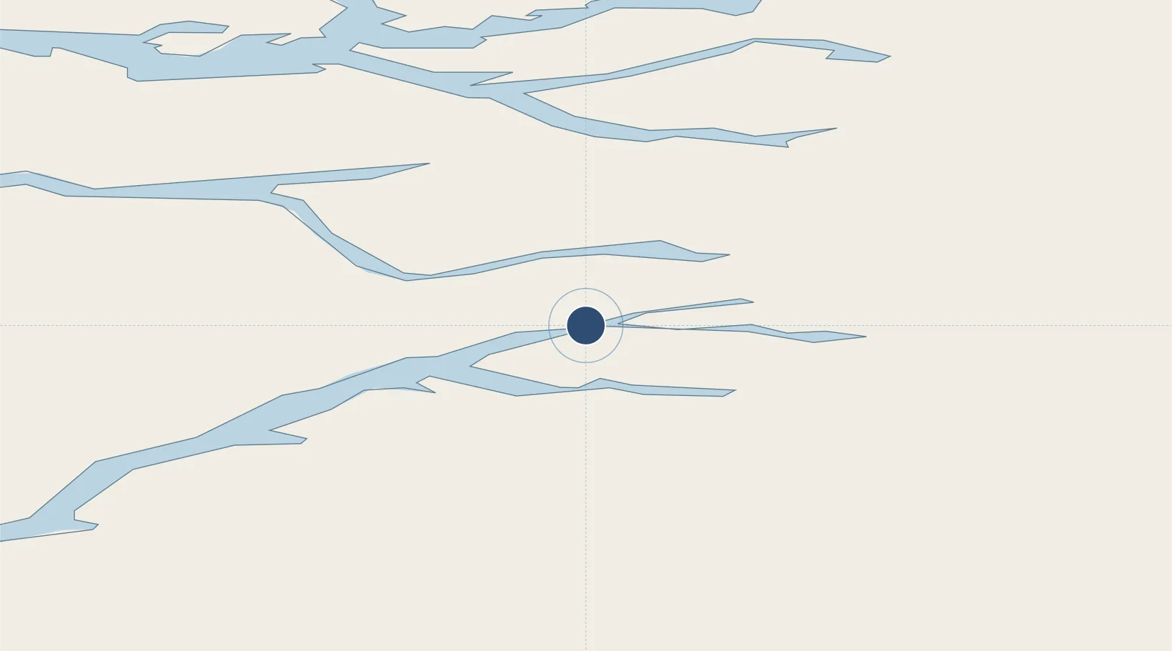
Runway & Layout

Radio Frequencies
TWR
118.3 MHz
A/D
126.2 MHz
APP/DEP
RDO
121.3 MHz
Navaids
SF NDB Sondre Stromfjord 382 kHz
Runways · 1
| Runway | Dimensions | Surface | True heading | Lit |
|---|---|---|---|---|
| 09/27 | 9,219 × 197ft | Asphalt | 062° | ✓ |
Airport Specifications
IATA code
SFJ
ICAO code
BGSF
Airport class
Large airport
Scheduled service
Yes
Runway surface
Asphalt
Served city
Kangerlussuaq
Location
Nearby Logistics Neighbours
Airports
- 1Sisimiut Airport131 km
- 2Attu Heliport161 km
- 3Niaqornaarsuk Heliport164 km
- 4Iginniarfik Heliport164 km
- 5Ikerassaarsuk Heliport171 km
Cities
- 1Kangerlussuaq Havn11 km
- 2Seqi Olivine Mine231 km
- 3Toqqusaq248 km
- 4Nuuk (Godthaab)318 km
- 5Maarmorliik459 km
Ports
- 1Soendre Stroemfjord12 km
- 2Sisimiut130 km
- 3Qasigiannguit-Christianshab202 km
- 4Maniitsoq203 km
- 5Aasiaat210 km
Trade Zones
- 1Crossroads Business Park2021 km
- 2Cape Breton Regional Municipality Foreign Trade Zone2391 km
- 3FTZ No. 179 Madawaska2418 km
- 4Québec City FTZ2539 km
- 5Saint John2581 km
DatabookThe Record of Consolidated Knowledge
Greenland beyond logistics?