Runway & Layout
Airport Specifications
IATA code
QGQ
ICAO code
BGAT
Airport class
Heliport
Scheduled service
Yes
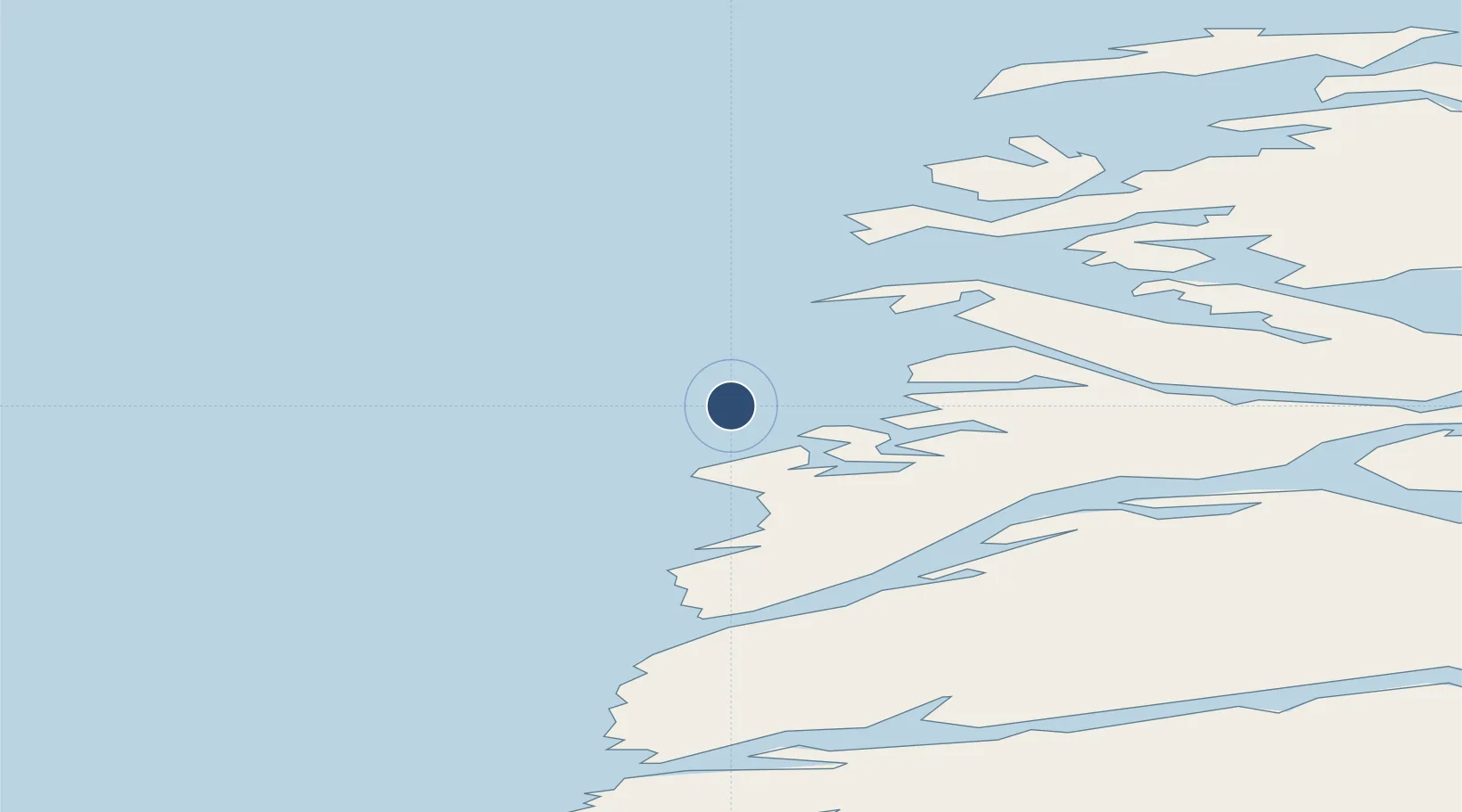
Served city
Attu
Location
Nearby Logistics Neighbours
Airports
- 1Ikerassaarsuk Heliport24 km
- 2Iginniarfik Heliport30 km
- 3Kangaatsiaq Heliport42 km
- 4Niaqornaarsuk Heliport46 km
- 5Aasiaat Airport93 km
Cities
- 1Kangerlussuaq Havn158 km
- 2Seqi Olivine Mine343 km
- 3Toqqusaq348 km
- 4Maarmorliik366 km
- 5Nuuk (Godthaab)426 km
Ports
- 1Aasiaat91 km
- 2Sisimiut114 km
- 3Qasigiannguit-Christianshab140 km
- 4Qeqertarsuaq144 km
- 5Soendre Stroemfjord159 km
Trade Zones
- 1Crossroads Business Park2113 km
- 2FTZ No. 179 Madawaska2444 km
- 3Cape Breton Regional Municipality Foreign Trade Zone2456 km
- 4Québec City FTZ2552 km
- 5Saint John2621 km
DatabookThe Record of Consolidated Knowledge
Greenland beyond logistics?