Medium airport · Greenland
Sisimiut AirportBGSS
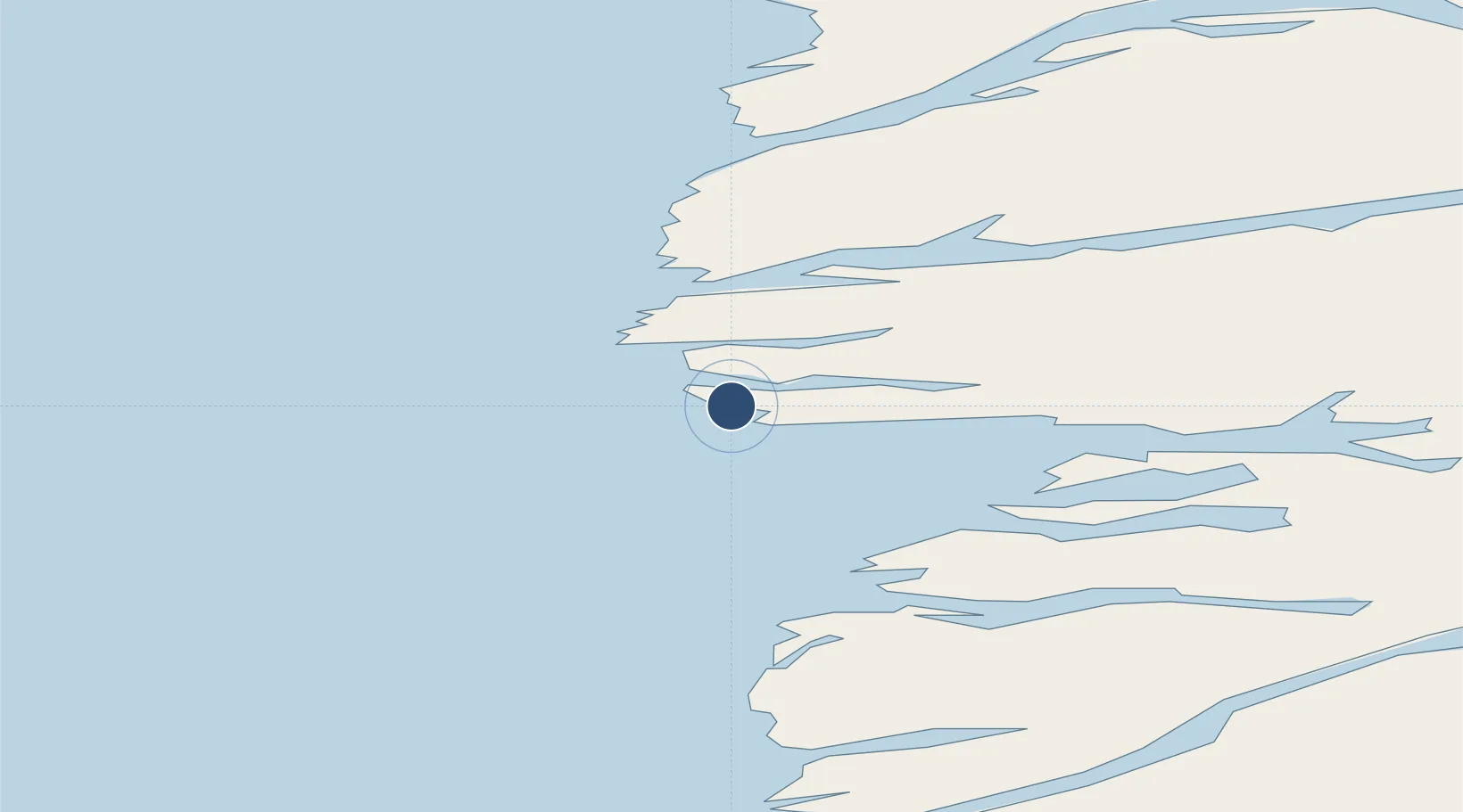
66.9513°, -53.7293°
2,621 ft
Longest runway
1
Runways
33 ft
Elevation
Runway & Layout

Radio Frequencies
AFIS
118.1 MHz
SISIMIUT AFIS
Navaids
SM NDB Sisimiut 341 kHz
SS DME Sisimiut 108.15 MHz
Runways · 1
| Runway | Dimensions | Surface | True heading | Lit |
|---|---|---|---|---|
| 13/31 | 2,621 × 98ft | Asphalt | 103° | ✓ |
Airport Specifications
IATA code
JHS
ICAO code
BGSS
Airport class
Medium airport
Scheduled service
Yes
Runway surface
Asphalt
Served city
Sisimiut
Location
Nearby Logistics Neighbours
Airports
- 1Attu Heliport110 km
- 2Kangerlussuaq International Airport131 km
- 3Ikerassaarsuk Heliport133 km
- 4Iginniarfik Heliport135 km
- 5Niaqornaarsuk Heliport148 km
Cities
- 1Kangerlussuaq Havn122 km
- 2Seqi Olivine Mine241 km
- 3Toqqusaq242 km
- 4Nuuk (Godthaab)321 km
- 5Maarmorliik475 km
Ports
- 1Sisimiut4 km
- 2Soendre Stroemfjord121 km
- 3Maniitsoq175 km
- 4Aasiaat199 km
- 5Qasigiannguit-Christianshab233 km
Trade Zones
- 1Crossroads Business Park2003 km
- 2FTZ No. 179 Madawaska2344 km
- 3Cape Breton Regional Municipality Foreign Trade Zone2347 km
- 4Québec City FTZ2457 km
- 5Saint John2518 km
DatabookThe Record of Consolidated Knowledge
Greenland beyond logistics?