Channel & Berth Profile
Pilotage, Tugs & Services
Pilotage compulsoryNO
Pilotage availableYES
Pilotage advisableYES
Tug assistanceYES
Salvage tugsNO
Shore powerYES
Potable waterYES
Diesel bunkersYES
MedicalYES
Garbage disposalYES
Facilities & Capabilities
ContainerYES
Ro-RoYES
Liquid bulkYES
Dry bulkYES
Oil terminal—
Break bulkYES
Dry dock—
RepairsNO
BunkeringYES
Rail link—
Dangerous cargo—
ISPS securityYES
Harbour Specifications
Harbour size
Small
Harbour type
Coastal (Natural)
Shelter
Good
Water body
Labrador Sea; North Atlantic Ocean
Tidal range
4.4 m
Pilotage
No
Liner Connectivity
24.9
PLSCI
Port Liner Shipping Connectivity Index for Nuuk, as published by UNCTAD for the latest available quarter. Higher values indicate stronger scheduled liner-shipping integration.
Shown relative to the highest per-port PLSCI in the dataset (1,657.9).
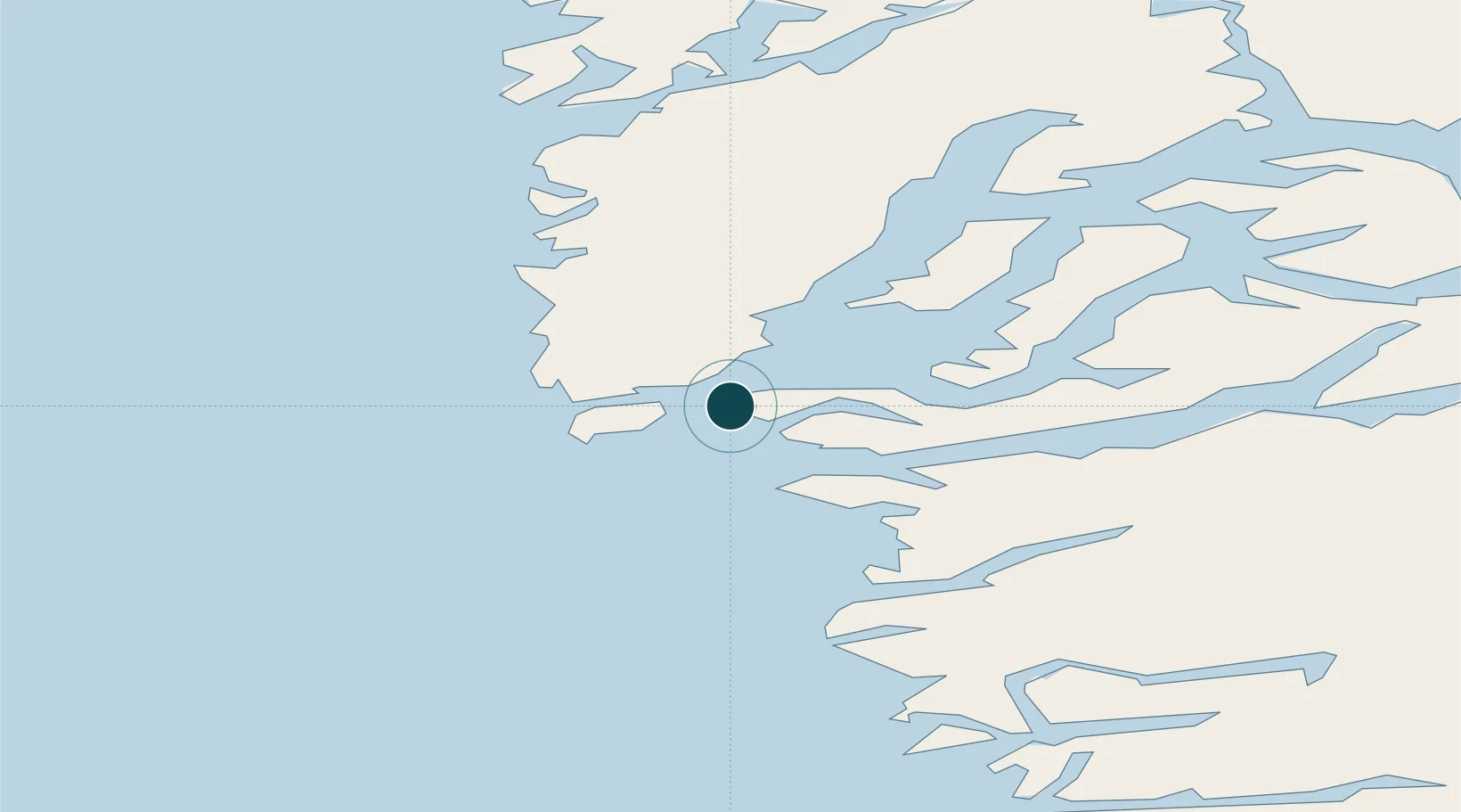
Location
Nearby Logistics Neighbours
Ports
- 1Faeringehavn57 km
- 2Maniitsoq148 km
- 3Paamuit (Frederikshab)264 km
- 4Soendre Stroemfjord310 km
- 5Sisimiut317 km
Cities
- 1Toqqusaq79 km
- 2Seqi Olivine Mine88 km
- 3Kangerlussuaq Havn312 km
- 4Nalunaq Gold Mine556 km
- 5Maarmorliik773 km
Airports
- 1Nuuk International Airport4 km
- 2Maniitsoq Airport148 km
- 3Paamiut Airport263 km
- 4Kangerlussuaq International Airport318 km
- 5Sisimiut Airport321 km
Trade Zones
- 1Crossroads Business Park1703 km
- 2Cape Breton Regional Municipality Foreign Trade Zone2079 km
- 3FTZ No. 179 Madawaska2133 km
- 4Québec City FTZ2267 km
- 5Saint John2282 km
DatabookThe Record of Consolidated Knowledge
Greenland beyond logistics?