Transport Functions
Port
Road
Hub Profile
Place type
Provincial seat
Region
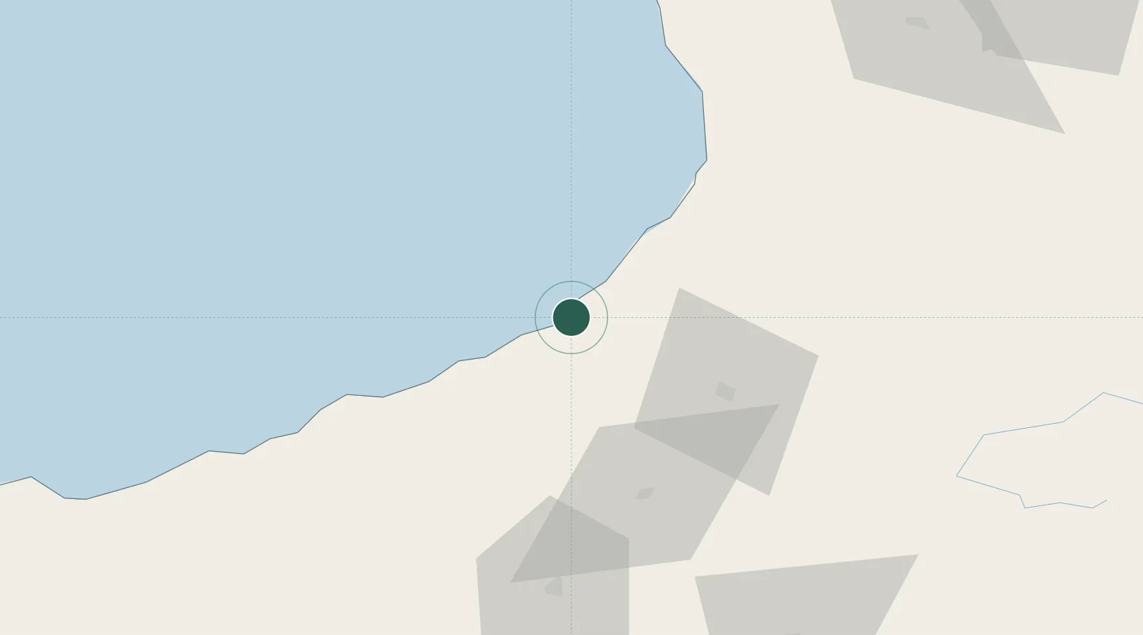
Artvin
Population
17,519
Time zone
Europe/Istanbul
Elevation
13 m
Location
Nearby Logistics Neighbours
Ports
- 1Batumi34 km
- 2Supsa Marine Terminal82 km
- 3Rize84 km
- 4Trabzon145 km
- 5Sokhumi180 km
Airports
Trade Zones
DatabookThe Record of Consolidated Knowledge
Türkiye beyond logistics?