UN/LOCODE hub · Georgia
GEBUS
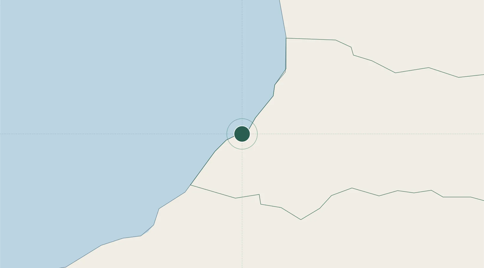
Batumi
41.6492°, 41.6577°
186,949
Population
2
Transport functions
1
Container terminals
Transport Functions
Port
Airport
Hub Profile
Place type
Regional capital
Region
Adjara
Population
186,949
Time zone
Asia/Tbilisi
Elevation
8 m
Logistics facilities
3
Container terminals
1
Location
Nearby Logistics Neighbours
Cities
- 1Hopa34 km
- 2Sup'sa44 km
- 3Poti57 km
- 4Kulevi69 km
- 5Tsalenjikha77 km
Ports
- 1Hopa34 km
- 2Supsa Marine Terminal50 km
- 3Rize115 km
- 4Sokhumi158 km
- 5Trabzon173 km
Airports
Trade Zones
DatabookThe Record of Consolidated Knowledge
Georgia beyond logistics?