Large airport · Türkiye

Rize–Artvin AirportLTFO
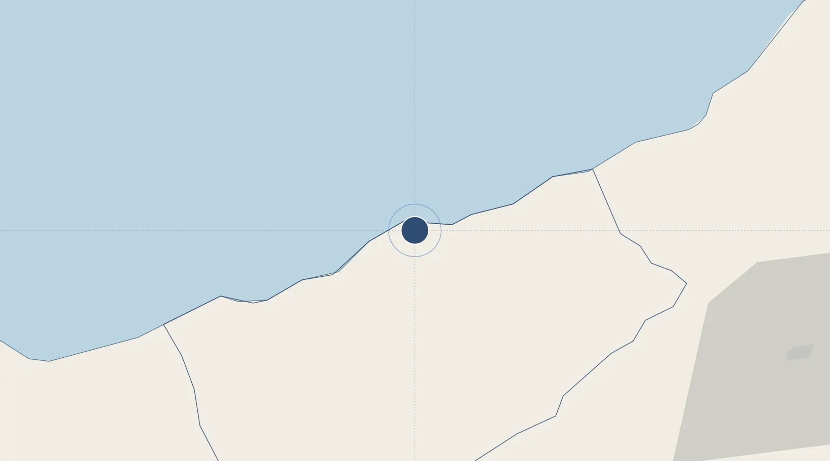
41.1798°, 40.8488°
9,843 ft
Longest runway
1
Runways
16 ft
Elevation

Runway & Layout

Rize–Artvin Airport runway & taxiway layout
Runway & taxiway layout — OpenStreetMap (ODbL) / OurAirports

Radio Frequencies

TWR
121.8 MHz
Ground
TWR
126.75 MHz
Rize-Artvin Tower
TWR
372.85 MHz
Rize-Artvin Tower
APP
127.15 MHz
Rize-Artvin Approach
SAR
123.1 MHz
Rize-Artvin Rescue Subcenter
SAR
282.8 MHz
Rize-Artvin Rescue Subcenter
OurAirports

Navaids

ART NDB Rize-Artvin 347 kHz
ART VOR-DME Rize-Artvin 110.45 MHz
OurAirports

Runways · 1

RunwayDimensions SurfaceTrue headingLit
06/24 9,843 × 148ft ASPH
OurAirports

Airport Specifications

IATA code
RZV
OurAirports
ICAO code
LTFO
OurAirports
Airport class
Large airport
OurAirports
Scheduled service
Yes
OurAirports
Runway surface
ASPH
OurAirports
Served city
Rize
OurAirports

Location

Location of LTFO
Natural Earth 10m (public domain) · Rize · LTFO · 41.18, 40.85GoogleOSMYandex

Nearby Logistics Neighbours

Airports
  1. 1Alexander Kartveli Batumi International Airport79 km
  2. 2Trabzon International Airport91 km
  3. 3Ozurgeti Air Base119 km
  4. 4Erzurum International Airport139 km
  5. 5Senaki Air Base154 km
Nearest neighbours — logibook spatial index (haversine) over the source coordinates
Cities
  1. 1Pazar3 km
  2. 2Rize35 km
  3. 3Hopa53 km
  4. 4Surmene69 km
  5. 5Batumi85 km
Nearest neighbours — logibook spatial index (haversine) over the source coordinates
Ports
  1. 1Rize31 km
  2. 2Hopa53 km
  3. 3Batumi85 km
  4. 4Trabzon93 km
  5. 5Supsa Marine Terminal125 km
Nearest neighbours — logibook spatial index (haversine) over the source coordinates
Trade Zones
  1. 1Trabzon Free Zone95 km
  2. 2Poti Free Industrial Zone130 km
  3. 3Kulevi Free Industrial Zone138 km
  4. 4Kutaisi Free Industrial Zone - Fresh Georgia, LLC.190 km
  5. 5Kutaisi Free Industrial Zone (Hualing)190 km
Nearest neighbours — logibook spatial index (haversine) over the source coordinates
DatabookThe Record of Consolidated Knowledge
Türkiye beyond logistics?
Browse databook

All Sources

AirportsOurAirports
Public domain
Portsthe NGA World Port Index
Public domain (US gov)
LocationsUN/LOCODE
UN/LOCODE — free
Trade Zonesthe World Bank SEZ database
CC BY 4.0
Trade ZonesOpen Zone Map
CC BY
InfrastructureOpenStreetMap
ODbL 1.0
← Türkiye airports