UN/LOCODE hub · United Kingdom
GBAEE
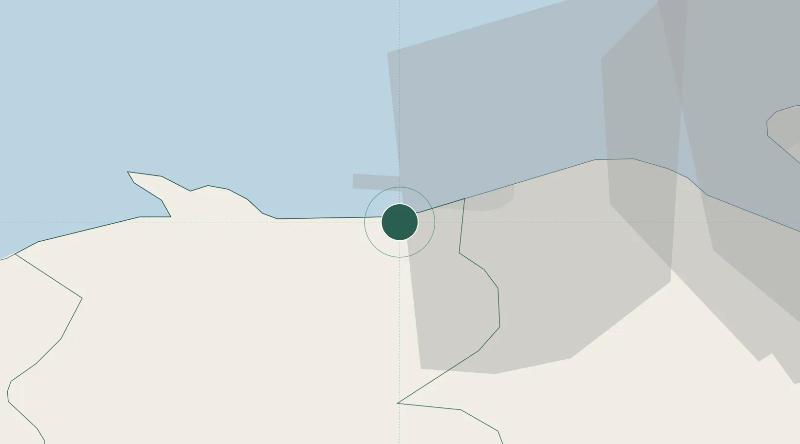
Abergele
53.2833°, -3.5833°
17,769
Population
3
Transport functions
Transport Functions
Port
Rail
Road
Hub Profile
Place type
Populated place
Region
Wales
Population
17,769
Time zone
Europe/London
Elevation
18 m
Location
Nearby Logistics Neighbours
Cities
- 1Llandyrnog1 km
- 2Llanddulas3 km
- 3Kinmel6 km
- 4Colwyn Bay (Bae Colwyn)10 km
- 5Rhôs-on-Sea11 km
Ports
- 1Mostyn21 km
- 2Liverpool Bay Terminal28 km
- 3Liverpool42 km
- 4Garlston46 km
- 5Caernarvon48 km
Airports
- 1Hawarden Airport42 km
- 2Liverpool John Lennon Airport49 km
- 3Anglesey Airport63 km
- 4Blackpool Airport66 km
- 5Warton Aerodrome69 km
Trade Zones
DatabookThe Record of Consolidated Knowledge
United Kingdom beyond logistics?