Transport Functions
Port
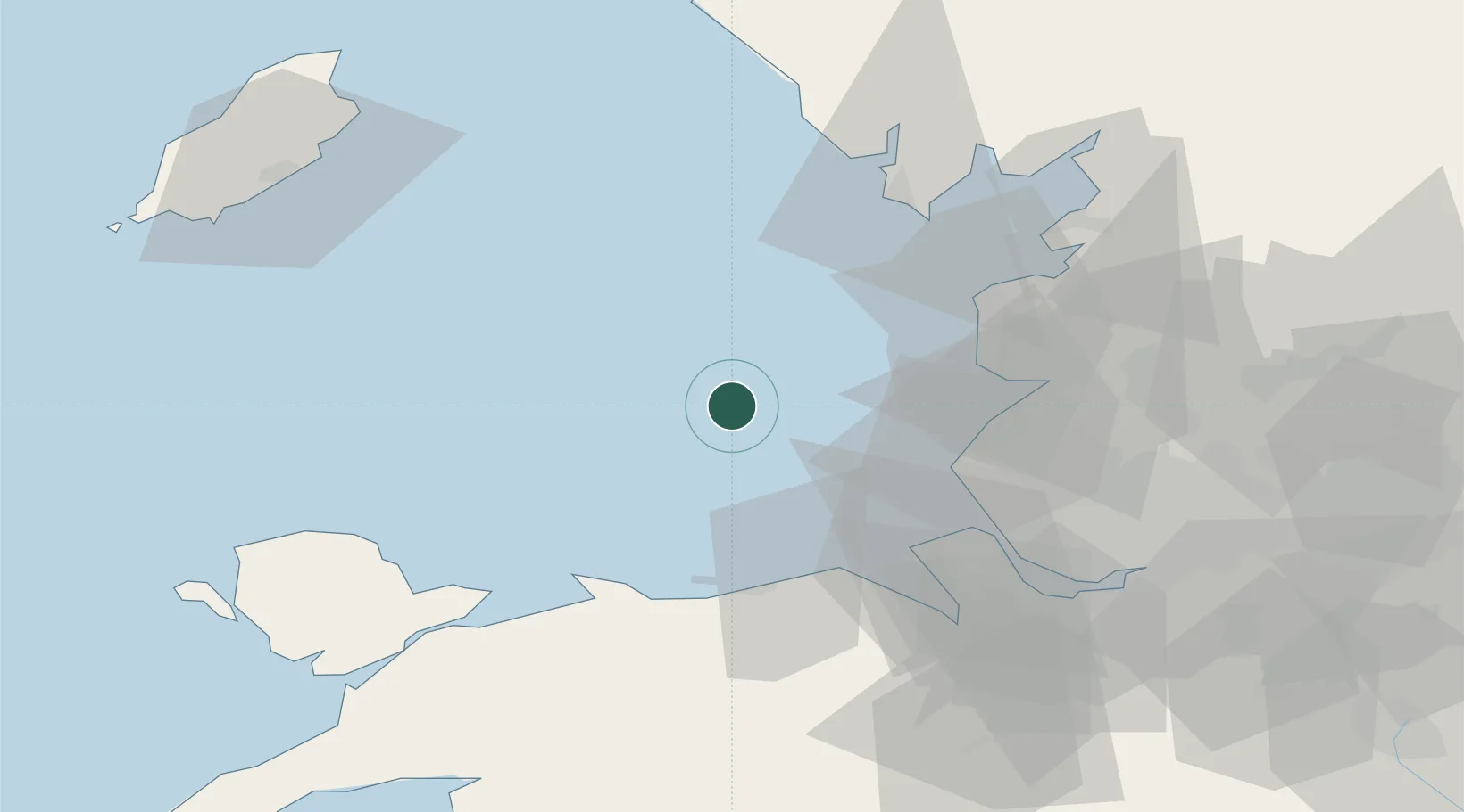
Location
Nearby Logistics Neighbours
Cities
- 1Bar Light23 km
- 2Saint-Anne's-on-Sea34 km
- 3Birkdale35 km
- 4Moore Cheshire35 km
- 5Preston Brook36 km
Ports
- 1Fleetwood44 km
- 2Mostyn45 km
- 3Liverpool47 km
- 4Barrow In Furness53 km
- 5Garlston57 km
Airports
- 1Blackpool Airport36 km
- 2Warton Aerodrome44 km
- 3Barrow Walney Island Airport53 km
- 4Liverpool John Lennon Airport60 km
- 5Hawarden Airport68 km
Trade Zones
DatabookThe Record of Consolidated Knowledge
United Kingdom beyond logistics?