UN/LOCODE hub · United Kingdom
GBCYY

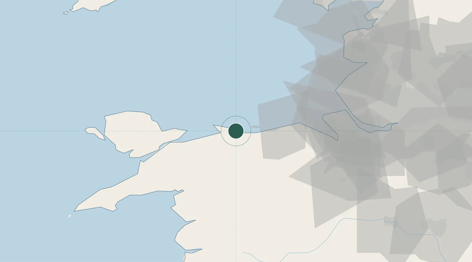
Colwyn Bay (Bae Colwyn)

53.3000°, -3.7333°
3
Transport functions

Transport Functions

Port
Rail
Road
UN/LOCODE

Hub Profile

Region
CWY
GeoNames

Location

Location of GBCYY
Natural Earth 10m (public domain) · CWY · GBCYY · 53.30, -3.73GoogleOSMYandex

Nearby Logistics Neighbours

Cities
  1. 1Rhôs-on-Sea1 km
  2. 2Conwy (Conway)7 km
  3. 3Llanddulas7 km
  4. 4Abergele10 km
  5. 5Llandyrnog11 km
Nearest neighbours — logibook spatial index (haversine) over the source coordinates
Ports
  1. 1Liverpool Bay Terminal29 km
  2. 2Mostyn31 km
  3. 3Caernarvon39 km
  4. 4Liverpool50 km
  5. 5Garlston56 km
Nearest neighbours — logibook spatial index (haversine) over the source coordinates
Airports
  1. 1Hawarden Airport52 km
  2. 2Anglesey Airport54 km
  3. 3Liverpool John Lennon Airport59 km
  4. 4Blackpool Airport70 km
  5. 5Warton Aerodrome75 km
Nearest neighbours — logibook spatial index (haversine) over the source coordinates
Trade Zones
  1. 1Mersey Waters Enterprise Zone49 km
  2. 2Liverpool Free Zone61 km
  3. 3Cheshire Science Corridor61 km
  4. 4Blackpool Enterprise Zone70 km
  5. 5Sci-Tech Daresbury Enterprise Zone73 km
Nearest neighbours — logibook spatial index (haversine) over the source coordinates
DatabookThe Record of Consolidated Knowledge
United Kingdom beyond logistics?
Browse databook

All Sources

LocationsUN/LOCODE
UN/LOCODE — free
Portsthe NGA World Port Index
Public domain (US gov)
AirportsOurAirports
Public domain
Trade Zonesthe World Bank SEZ database
CC BY 4.0
Trade ZonesOpen Zone Map
CC BY
← United Kingdom locations