Transport Functions
Port
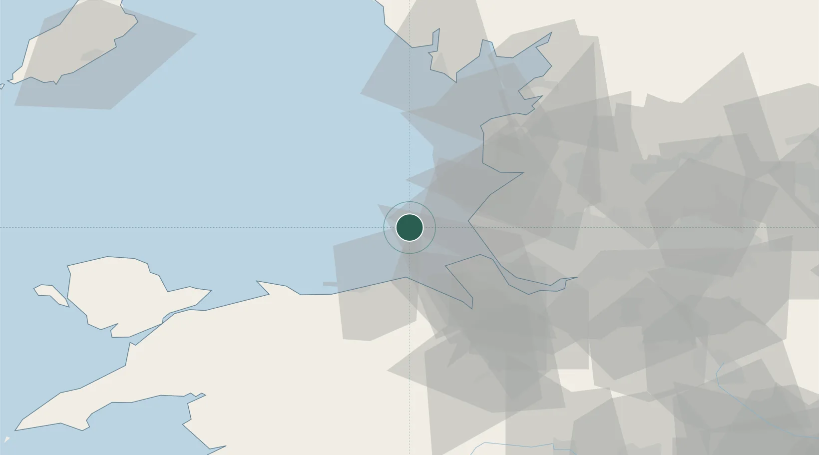
Location
Nearby Logistics Neighbours
Cities
- 1Preston Brook16 km
- 2Formby18 km
- 3Hightown18 km
- 4Moore Cheshire19 km
- 5Seaforth21 km
Ports
- 1Liverpool Bay Terminal15 km
- 2Mostyn24 km
- 3Liverpool25 km
- 4Garlston34 km
- 5Fleetwood47 km
Airports
- 1Blackpool Airport33 km
- 2Warton Aerodrome37 km
- 3Liverpool John Lennon Airport38 km
- 4Hawarden Airport46 km
- 5Barrow Walney Island Airport66 km
Trade Zones
DatabookThe Record of Consolidated Knowledge
United Kingdom beyond logistics?