UN/LOCODE hub · United Kingdom
GBPOI

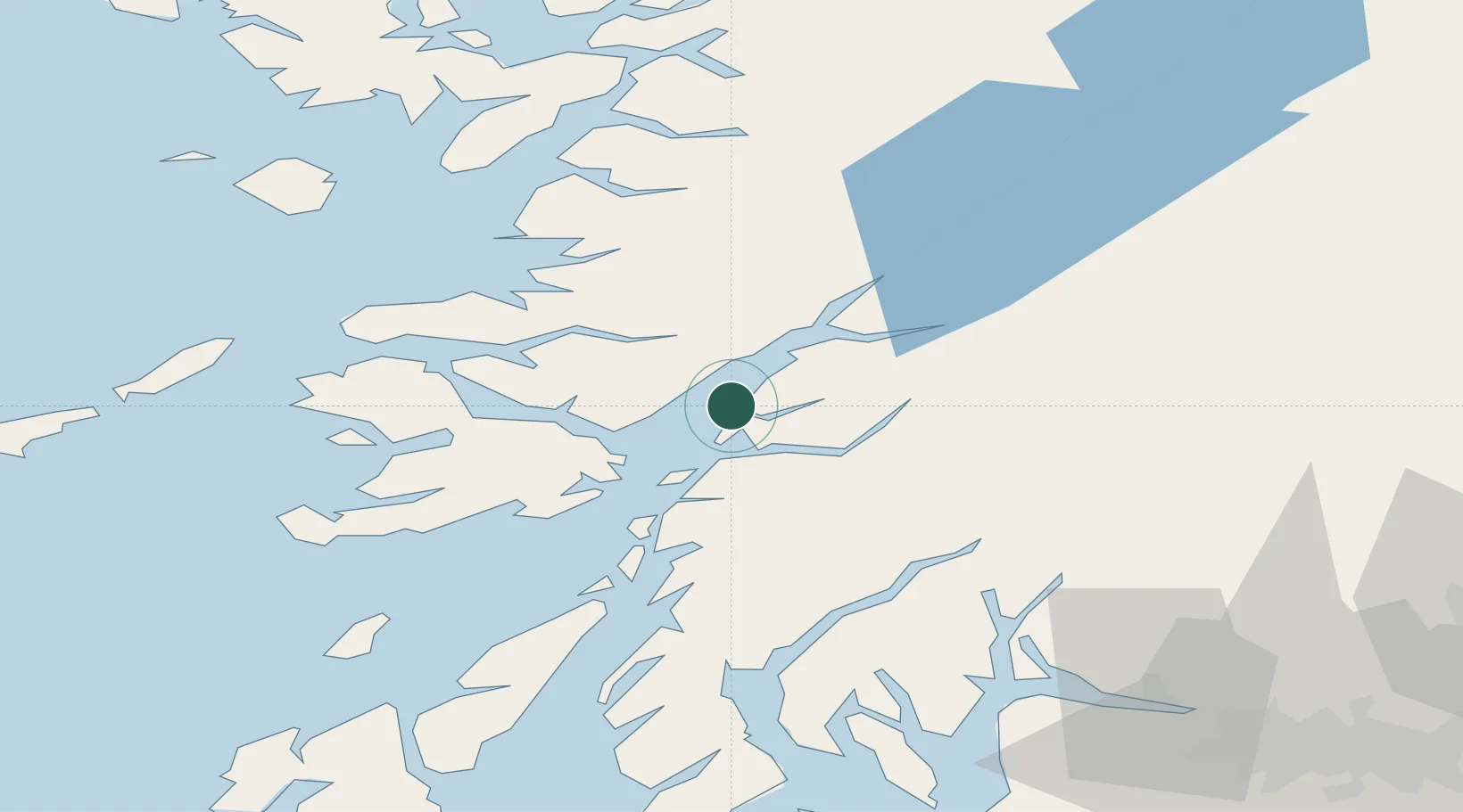
Point, Island of Lismore

56.5500°, -5.4333°
2
Transport functions

Transport Functions

Port
Road
UN/LOCODE

Hub Profile

Region
AGB
GeoNames

Location

Location of GBPOI
Natural Earth 10m (public domain) · AGB · GBPOI · 56.55, -5.43GoogleOSMYandex

Nearby Logistics Neighbours

Cities
  1. 1Port Appin2 km
  2. 2Appin5 km
  3. 3Achnacroish6 km
  4. 4Glensanda7 km
  5. 5Barcaldine9 km
Nearest neighbours — logibook spatial index (haversine) over the source coordinates
Ports
  1. 1Glensanda6 km
  2. 2Oban15 km
  3. 3Craignure19 km
  4. 4Lochaline20 km
  5. 5Fort William35 km
Nearest neighbours — logibook spatial index (haversine) over the source coordinates
Airports
  1. 1Oban Airport10 km
  2. 2Coll Airport73 km
  3. 3Colonsay Airstrip74 km
  4. 4Tiree Airport88 km
  5. 5Glasgow Airport98 km
Nearest neighbours — logibook spatial index (haversine) over the source coordinates
Trade Zones
  1. 1Prestwick Airport Free Zone127 km
  2. 2Carlisle Kingmoor Park Enterprise Zone237 km
  3. 3Isle of Man Free Zone and Business Park278 km
  4. 4North Eastern Enterprise Zone296 km
  5. 5Tees Valley Enterprise Zone344 km
Nearest neighbours — logibook spatial index (haversine) over the source coordinates
DatabookThe Record of Consolidated Knowledge
United Kingdom beyond logistics?
Browse databook

All Sources

LocationsUN/LOCODE
UN/LOCODE — free
Portsthe NGA World Port Index
Public domain (US gov)
AirportsOurAirports
Public domain
Trade Zonesthe World Bank SEZ database
CC BY 4.0
Trade ZonesOpen Zone Map
CC BY
← United Kingdom locations