UN/LOCODE hub · United Kingdom
GBAPI

Appin

56.5667°, -5.3500°
2
Transport functions

Transport Functions

Port
Road
UN/LOCODE

Hub Profile

Place type
Populated place
GeoNames
Region
Scotland
GeoNames
Time zone
Europe/London
GeoNames
Elevation
18 m
GeoNames

Location

Location of GBAPI
Natural Earth 10m (public domain) · Scotland · GBAPI · 56.57, -5.35GoogleOSMYandex

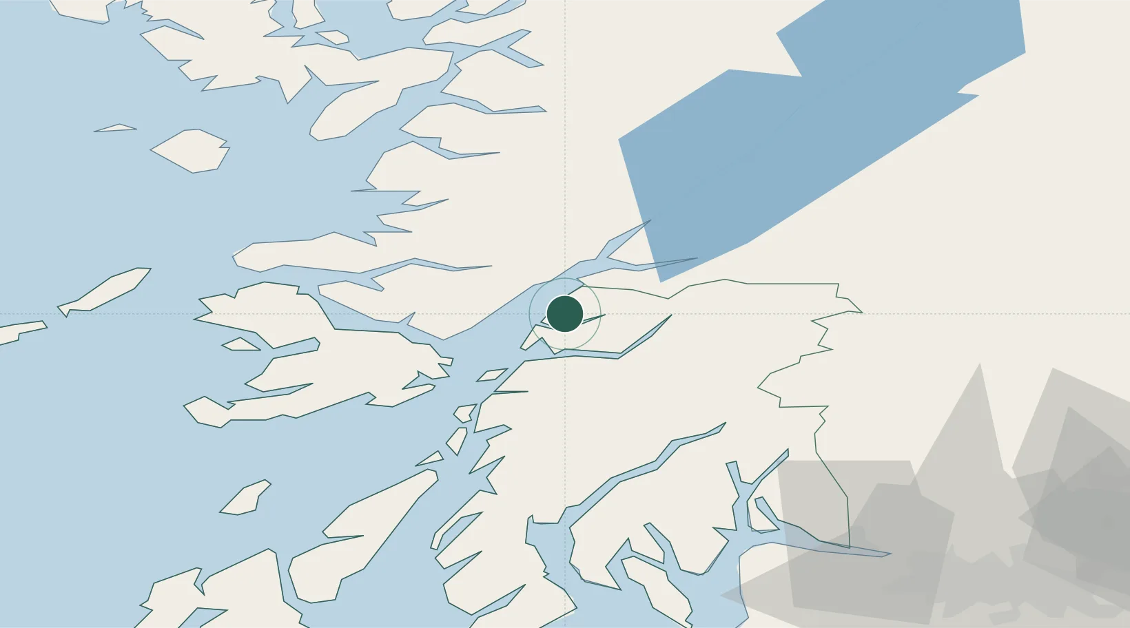
Nearby Logistics Neighbours

Cities
  1. 1Port Appin4 km
  2. 2Point, Island of Lismore5 km
  3. 3Barcaldine6 km
  4. 4Achnacroish11 km
  5. 5Glensanda12 km
Nearest neighbours — logibook spatial index (haversine) over the source coordinates
Ports
  1. 1Glensanda11 km
  2. 2Oban18 km
  3. 3Craignure24 km
  4. 4Lochaline26 km
  5. 5Fort William31 km
Nearest neighbours — logibook spatial index (haversine) over the source coordinates
Airports
  1. 1Oban Airport12 km
  2. 2Coll Airport78 km
  3. 3Colonsay Airstrip79 km
  4. 4Tiree Airport94 km
  5. 5Glasgow Airport96 km
Nearest neighbours — logibook spatial index (haversine) over the source coordinates
Trade Zones
  1. 1Prestwick Airport Free Zone126 km
  2. 2Carlisle Kingmoor Park Enterprise Zone235 km
  3. 3Isle of Man Free Zone and Business Park279 km
  4. 4North Eastern Enterprise Zone293 km
  5. 5Tees Valley Enterprise Zone341 km
Nearest neighbours — logibook spatial index (haversine) over the source coordinates
DatabookThe Record of Consolidated Knowledge
United Kingdom beyond logistics?
Browse databook

All Sources

LocationsUN/LOCODE
UN/LOCODE — free
Portsthe NGA World Port Index
Public domain (US gov)
AirportsOurAirports
Public domain
Trade Zonesthe World Bank SEZ database
CC BY 4.0
Trade ZonesOpen Zone Map
CC BY
← United Kingdom locations