UN/LOCODE hub · United Kingdom
GBGAD
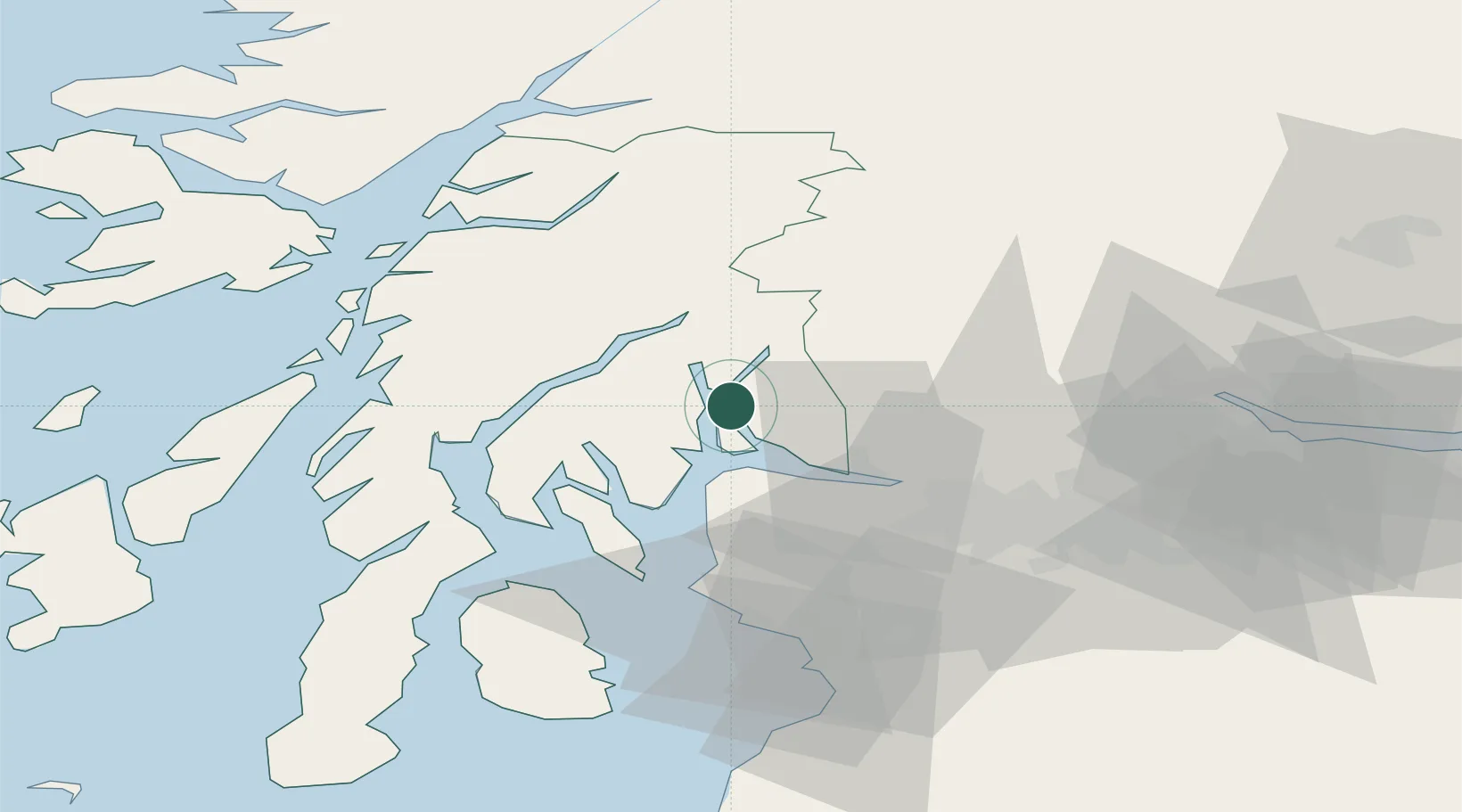
Garelochhead
56.0833°, -4.8333°
2,110
Population
1
Transport functions
Transport Functions
Port
Hub Profile
Place type
Populated place
Region
Scotland
Population
2,110
Time zone
Europe/London
Elevation
21 m
Location
Nearby Logistics Neighbours
Cities
- 1Loch Long1 km
- 2Gareloch2 km
- 3Portincaple2 km
- 4Faslane2 km
- 5Glenmallan4 km
Ports
- 1Faslane2 km
- 2Finnart Oil Terminal4 km
- 3Greenock16 km
- 4Bowling27 km
- 5Old Kilpatrick29 km
Airports
- 1Glasgow Airport34 km
- 2Oban Airport55 km
- 3Glasgow Prestwick Airport67 km
- 4Colonsay Airstrip88 km
- 5Campbeltown Airport90 km
Trade Zones
DatabookThe Record of Consolidated Knowledge
United Kingdom beyond logistics?