UN/LOCODE hub · United Kingdom
GBGLH

Gareloch

56.1000°, -4.8167°
1
Transport functions

Transport Functions

Port
UN/LOCODE

Hub Profile

Region
AGB
GeoNames

Location

Location of GBGLH
Natural Earth 10m (public domain) · AGB · GBGLH · 56.10, -4.82GoogleOSMYandex

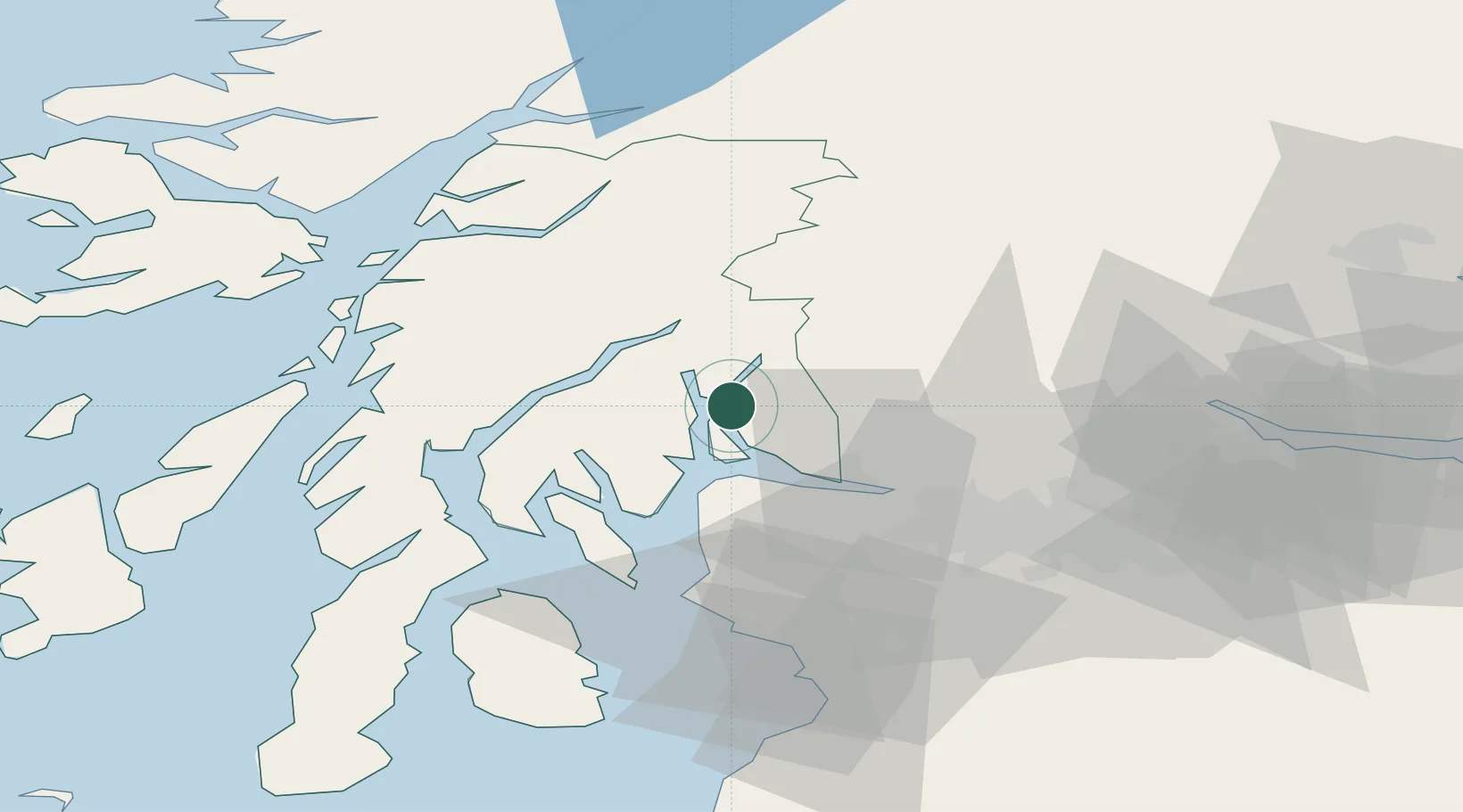
Nearby Logistics Neighbours

Cities
  1. 1Glenmallan2 km
  2. 2Portincaple2 km
  3. 3Garelochhead2 km
  4. 4Loch Long3 km
  5. 5Faslane4 km
Nearest neighbours — logibook spatial index (haversine) over the source coordinates
Ports
  1. 1Finnart Oil Terminal2 km
  2. 2Faslane4 km
  3. 3Greenock17 km
  4. 4Bowling28 km
  5. 5Old Kilpatrick30 km
Nearest neighbours — logibook spatial index (haversine) over the source coordinates
Airports
  1. 1Glasgow Airport35 km
  2. 2Oban Airport54 km
  3. 3Glasgow Prestwick Airport68 km
  4. 4Colonsay Airstrip89 km
  5. 5Edinburgh Airport91 km
Nearest neighbours — logibook spatial index (haversine) over the source coordinates
Trade Zones
  1. 1Prestwick Airport Free Zone67 km
  2. 2Carlisle Kingmoor Park Enterprise Zone174 km
  3. 3Isle of Man Free Zone and Business Park224 km
  4. 4North Eastern Enterprise Zone237 km
  5. 5Blackpool Enterprise Zone283 km
Nearest neighbours — logibook spatial index (haversine) over the source coordinates
DatabookThe Record of Consolidated Knowledge
United Kingdom beyond logistics?
Browse databook

All Sources

LocationsUN/LOCODE
UN/LOCODE — free
Portsthe NGA World Port Index
Public domain (US gov)
AirportsOurAirports
Public domain
Trade Zonesthe World Bank SEZ database
CC BY 4.0
Trade ZonesOpen Zone Map
CC BY
← United Kingdom locations