Seaport · Argentina

Puerto San JulianARSJL

-49.3167°, -67.7000°

Channel & Berth Profile

SEA LEVEL (CD)CHANNEL BEDAnchorage · 6.4 mCargo pier · 6.4 mOil terminal · 6.4 m
NGA World Port Index

Pilotage, Tugs & Services

Pilotage compulsoryYES
Pilotage availableYES
Tug assistanceNO
Salvage tugsNO
Shore powerYES
Potable waterYES
Diesel bunkersNO
MedicalYES
Garbage disposalYES
NGA World Port Index

Facilities & Capabilities

Container
Ro-Ro
Liquid bulk
Dry bulk
Oil terminal
Break bulk
Dry dock
RepairsNO
BunkeringNO
Rail link
Dangerous cargo
ISPS security
NGA World Port Index

Harbour Specifications

Harbour size
Very Small
NGA World Port Index
Harbour type
Coastal (Natural)
NGA World Port Index
Shelter
Good
NGA World Port Index
Water body
South Atlantic Ocean
NGA World Port Index
Tidal range
3 m
NGA World Port Index
Pilotage
Yes
NGA World Port Index

Location

Location of ARSJL
Natural Earth 10m (public domain) · Santa Cruz · ARSJL · -49.32, -67.70GoogleOSMYandex

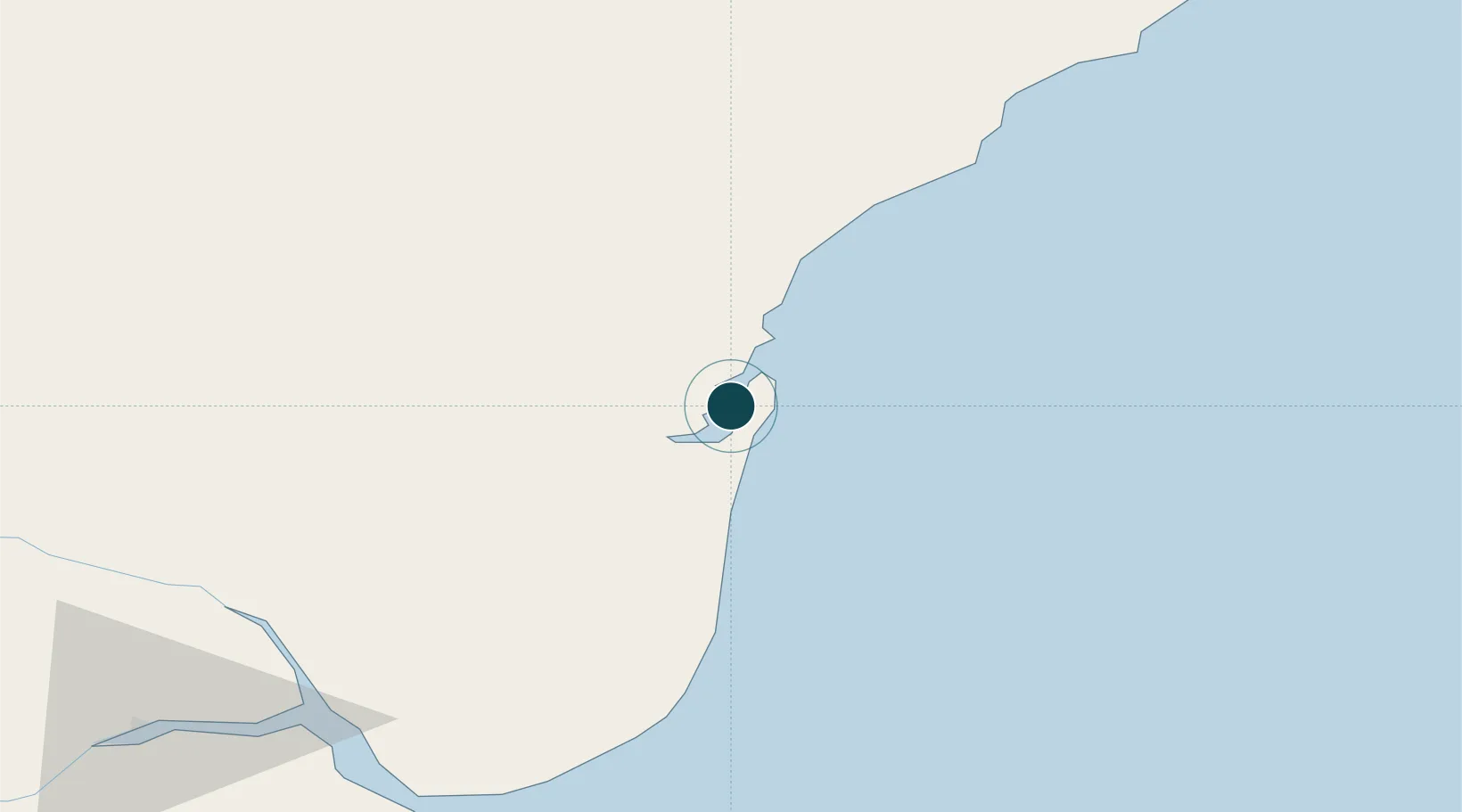
Nearby Logistics Neighbours

Ports
  1. 1Puerto Santa Cruz98 km
  2. 2Puerto Deseado219 km
  3. 3Puerto Gallegos271 km
  4. 4Comodoro Rivadavia384 km
  5. 5Puerto Sara408 km
Nearest neighbours — logibook spatial index (haversine) over the source coordinates
Cities
  1. 1San Julian2 km
  2. 2Santa Cruz93 km
  3. 3Puerto Deseado218 km
  4. 4Río Gallegos279 km
  5. 5Rio Cullen389 km
Nearest neighbours — logibook spatial index (haversine) over the source coordinates
Airports
  1. 1Capitan D Daniel Vazquez Airport8 km
  2. 2Santa Cruz Airport100 km
  3. 3Gobernador Gregores Airport188 km
  4. 4Puerto Deseado Airport220 km
  5. 5Piloto Civil Norberto Fernández International Airport279 km
Nearest neighbours — logibook spatial index (haversine) over the source coordinates
Trade Zones
  1. 1La Zona Franca Santa Cruz (ZFSC) - Río Gallegos287 km
  2. 2La Zona Franca Santa Cruz (ZFSC) - Caleta Olivia317 km
  3. 3Comodoro Free Trade Zone380 km
  4. 4Comodoro Free Trade Zone Zona Franca Chubut384 km
  5. 5Punta Arenas Free Trade Zone478 km
Nearest neighbours — logibook spatial index (haversine) over the source coordinates
DatabookThe Record of Consolidated Knowledge
Argentina beyond logistics?
Browse databook

All Sources

Portsthe NGA World Port Index
Public domain (US gov)
AirportsOurAirports
Public domain
LocationsUN/LOCODE
UN/LOCODE — free
Trade Zonesthe World Bank SEZ database
CC BY 4.0
Trade ZonesOpen Zone Map
CC BY
← Argentina ports